Washington County Property Appraiser, Record Search & Lookup
In Washington County, New York, there are 35,431 parcels available for public lookup. You can search property records using owner name, parcel ID, or address. Enter Parcel ID (like 06504400020060000000 or SBL 65.44-2-6) to access ownership, tax, and property details instantly.
New York Property Search
Search the public New York statewide parcel API by parcel number, owner name, or site address.
The local assessment office maintains updated parcel and building datasets for public access. The region includes 35,431 parcels and 55,633 matched structures mapped through aerial imagery. Address databases include 35,485 verified secondary locations, ensuring accurate ownership tracking.
Zoning classifications are standardized for 4,870 parcels, supporting better land-use insights and taxation records. Data sources are regularly refreshed, with the latest update recorded on 2026-02-24, improving transparency in real estate and property evaluation systems.
Total Residential Properties
24,664
Total Commercial Properties
1,564
Avg. Home Age
Avg. Square Feet
Total Residential Sales 2026
148
Homes Seriously Underwater
0.5%
Residential Sales 2025 year
1,104
Equit Rich Homes
11.32%
Effective 2026 Property Tax
Total Foreclosure Filings
22
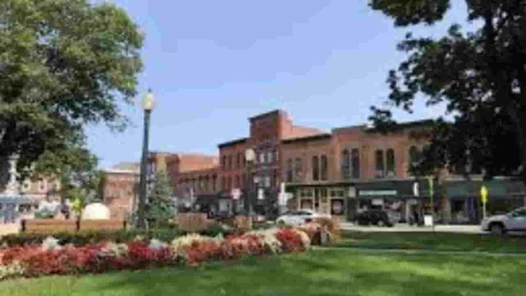
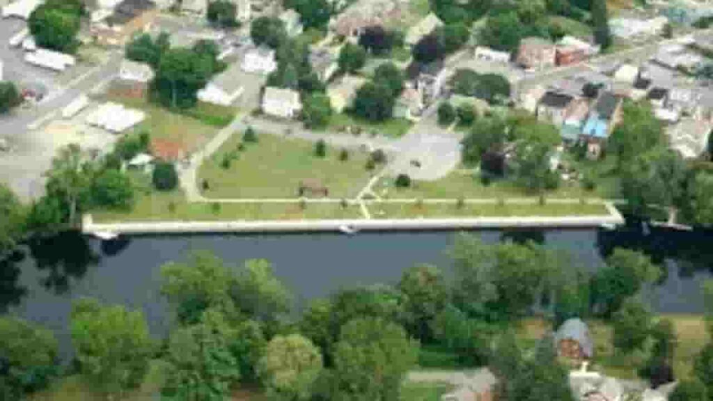
GIS Map & Regional Overview
This county covers approximately 846 square miles, including mostly land with small water coverage. Population is estimated near 61,000, while the median home value is around $210,000. GIS mapping tools help visualize parcels, zoning, and land boundaries accurately.
- Total Area: 846 sq. miles
- Land Area: 831 sq. miles
- Water Area: 15 sq. miles
- Median Home Value: $210,000
- Population: ~61,000
Nearby Counties
Major Cities & Communities
Hudson Falls
4,367 Parcels
Fort Edward
3,339 parcels
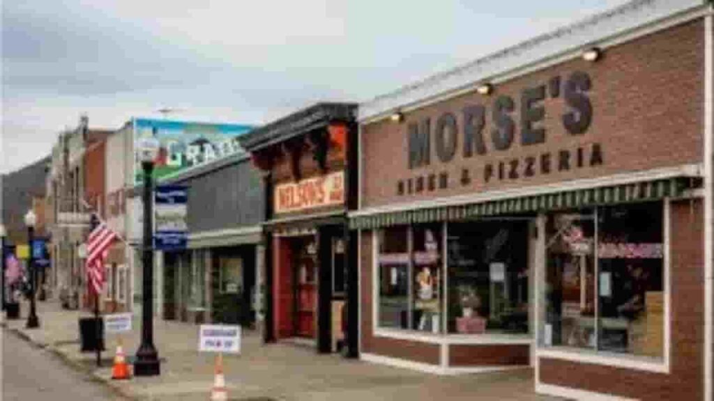
2,953 Parcels
Property Search Tool – 4 Easy Methods
The property lookup system allows fast and free access to land and ownership records. Users can retrieve detailed insights using multiple search methods. Results include ownership data, tax history, parcel boundaries, and transaction records.
Search By Owner Name
Enter a property holder’s name to locate ownership records and linked parcels. This method helps verify legal ownership and identify multiple properties registered under the same individual or entity across the county database.
Search By Address
Provide a complete street address to quickly find parcel details. This option helps users access location-based records, including ownership data, tax assessments, and structural details linked to a specific property location.
Search By Parcel PIN
Use a unique parcel identification number for precise results. This method is the most accurate way to retrieve exact property records, including tax data, legal descriptions, and mapped boundaries within the system.
Search By City Name
If limited information is available, users can search using a city or town name. This approach helps browse properties within a selected area and explore multiple parcel records efficiently.
Property Search Tool – Data Coverage
This tool provides complete property insights for research and verification. Users can access ownership records, valuation data, tax details, land use classification, and official assessment information for better decision-making in real estate analysis.
Parcel PIN
A parcel identification number acts as a unique code assigned to each property. It allows quick tracking of records, linking ownership details, tax data, and mapping information within the official county property database system.
Owner Address
The property address represents the physical location of the parcel. It includes street-level details that help users identify where the property exists geographically and verify location-based ownership and assessment records easily.
Administration Code
Administrative codes are assigned for internal tracking and classification. These codes help organize property data, ensuring accurate management of tax records, zoning classifications, and assessment information within official property systems.
Owner Identity
This section lists the legally registered owner of the property. It helps confirm ownership status and identify individuals or entities responsible for taxes, transactions, and legal rights associated with the parcel.
Legal Identification
Legal descriptions define property boundaries using official terminology. These records ensure precise identification during transactions, ownership verification, and legal documentation, reducing disputes and improving clarity in land ownership records.
Tax Parcel Use Code
Use codes classify properties into categories such as residential, commercial, or agricultural. These classifications help determine tax rates, land use regulations, and property valuation standards applied by the assessment office.
Zoning Code
The zoning code defines how land can be used within a specific area. In Washington County, New York, it helps classify parcels for residential, commercial, agricultural, or mixed-use development.
GIS Acres
GIS acres represent land area measured through Geographic Information System (GIS) mapping technology. In Washington County, New York, this data helps define precise parcel boundaries, terrain size, and spatial accuracy.
Construction Date
The construction year indicates when the main structure was built. This detail helps estimate property age, maintenance needs, and overall condition, which are important factors in valuation and real estate analysis.
Gross Living Area
Gross living area measures total usable indoor space. It includes finished sections of a building. This metric helps determine property size, functionality, and contributes significantly to valuation and comparative market analysis
Building Code
The building code defines construction standards and classifications. It ensures structures meet safety and regulatory requirements. This helps maintain consistent development quality and ensures compliance with local construction guidelines and regulations.
Water Supply
The water supply detail identifies the source of water, such as public systems or private wells. It helps assess infrastructure availability and impacts property usability, value, and long-term sustainability considerations for owners
Sewerage System
The sewerage system explains how waste is managed on the property. It may include public sewer or septic systems. This information is essential for understanding sanitation setup and maintenance responsibilities linked to the parcel
Property Valuation Date
Valuation data separates land and improvement values. It provides insight into how assessors determine property worth, helping users understand tax calculations and overall market positioning of the parcel.
Net Assessed Land Value
Net assessed land value reflects the taxable worth of land after adjustments. It excludes structures and focuses on land value used in tax calculations, ensuring fair and standardized property taxation.
Full Site Address
The full site address includes complete location details such as street, city, and region. In Washington County, New York, it helps accurately identify parcels and ensures proper linkage with mapping systems, GIS data, and ownership records for precise property search results.
Mailing Address
The ZIP code defines the postal region linked to a property location. In regional databases, it improves search accuracy, record validation, and mail delivery efficiency, helping users verify property locations and filter results during property record searches.
Site Address Zip
ZIP code in Albany County, New York identifies postal region. It improves accuracy in record searches and ensures proper delivery of official property-related documents.
Washington County, NY Property Tax & Community Data
This dataset presents community-level property insights across Washington County, New York. It includes estimated parcels, population figures, land area, millage rates, and median tax bills for better real estate analysis and county-level property understanding.
| City / Community Name | Total Parcels (Est.) | Total Population (2026) | Area (Sq Mi) | Preliminary Millage Rate (2026) | Median Tax Bill (Est.) |
|---|---|---|---|---|---|
| Kingsbury (Town) | ~5,100 | 12,827 | 40.0 | 3.54 | $3,850 |
| Granville (Town) | ~3,500 | 6,180 | 56.0 | 3.54 | $3,120 |
| Fort Edward (Town) | ~2,800 | 5,986 | 27.0 | 3.54 | $3,450 |
| Greenwich (Town) | ~2,600 | 4,850 | 44.0 | 3.54 | $3,210 |
| Fort Ann (Town) | ~2,900 | 4,278 | 109.0 | 3.54 | $2,980 |
| Whitehall (Town) | ~2,100 | 4,017 | 57.0 | 3.54 | $3,050 |
| Argyle (Town) | ~1,950 | 3,633 | 57.0 | 3.54 | $3,180 |
| White Creek | ~1,700 | 3,271 | 48.0 | 3.54 | $2,950 |
| Salem (Town) | ~1,550 | 2,606 | 52.0 | 3.54 | $3,010 |
| Easton | ~1,400 | 2,258 | 62.0 | 3.54 | $3,380 |
| Hartford | ~1,250 | 2,180 | 43.0 | 3.54 | $2,840 |
| Cambridge (Town) | ~1,350 | 1,915 | 36.0 | 3.54 | $3,240 |
| Hebron | ~1,100 | 1,781 | 56.0 | 3.54 | $2,720 |
| Jackson | ~1,050 | 1,711 | 37.0 | 3.54 | $2,910 |
| Hampton | ~650 | 859 | 22.0 | 3.54 | $2,580 |
| Putnam | ~1,100 | 562 | 33.0 | 3.54 | $3,920 |
| Dresden | ~800 | 537 | 53.0 | 3.54 | $2,650 |
FAQs
How can I access Washington County, NY property records online?
You can view property records through the official county systems like Image Mate Online and the GIS parcel viewer. These platforms provide ownership details, assessed values, tax information, deed references, and parcel maps for public use in Washington County, New York
Is Washington County, NY deed search available online?
Yes. Deed-related information, including book/page references and ownership history, can be accessed via the county’s online property databases. Users can also contact the County Clerk’s Office for certified deed copies and official transaction records in Washington County, NY.
Can I search Washington County property by owner name or address?
Yes. Property search tools allow lookup by owner name, street address, or parcel number (APN). This helps users quickly find tax data, ownership records, and property valuation details without visiting the county office in Washington County, New York.
Where can I find Washington County tax maps and GIS data?
Washington County provides a GIS Web Map system that includes parcel boundaries, aerial imagery, soils data, wetlands, and tax map layers. These tools help users analyze land use, zoning, and property layout in detail across Washington County, NY.
How do I check Washington County property tax bills online?
Property tax bills can be viewed through the county’s online portal after searching a parcel. The system shows current and past tax bills, assessment details, and billing history for residential and commercial properties in Washington County, New York.