Warren County, New York Property Appraiser, Search Your Record Lookup
“In Warren County, New York, users can access property records using owner name, parcel number, or street address. The system returns ownership details, tax data, and land information. Enter Parcel ID with no spaces (like 06504400020060000000 or SBL 65.44-2-6) to get accurate and updated results instantly.”
New York Property Search
Search the public New York statewide parcel API by parcel number, owner name, or site address.
The property database serving this region maintains structured parcel records for public access. It includes around 45,810 parcels, updated through official assessment systems. These records support accurate ownership tracking, valuation, and taxation processes.
Total Residential Properties
32,501
Total Commercial Properties
2,521
Avg. Home Age
Avg. Square Feet
Total Residential Sales 2026
154
Homes Seriously Underwater
0.67%
Residential Sales 2025 year
978
Equit Rich Homes
23.35%
Effective 2026 Property Tax
Total Foreclosure Filings
10
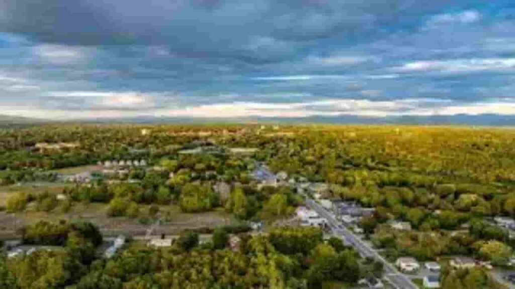
Warren County, New York GIS Map and Area Overview
The GIS platform provides interactive mapping of parcels, boundaries, and zoning layers. Users can explore land distribution, ownership patterns, and property locations visually. This improves planning, research, and property evaluation.
- Total area: 933 sq. miles
- Land area: 867 sq. miles
- Water area: 66 sq. miles
- Median home value: $275,000 (approx.)
- Population: ~65,000 (2026 est.)
Neighbouring Counties
Major Communities In Warren County, New York

Glens Falls
4,986 Parcels
Queensbury
10,247 parcels

3,712 Parcels
Property Search Tool – 4 Simple Methods
This property lookup system provides fast access to real estate records. Users can retrieve ownership, valuation, and tax details using multiple search options. Results are accurate and easy to navigate.
Search By Owner Name
Enter a person’s name to locate associated properties. This method helps identify ownership records and linked parcels quickly within the county database.
Search By Address
Type a full property address to access parcel details. It returns ownership, valuation, and tax information tied to that specific location.
Search By Parcel PIN
Using a parcel number gives the most precise results. It connects directly to official records and provides detailed property data instantly.
Search By City Name
If exact details are missing, search by city name. This filters results by location and helps narrow down property records efficiently.
Warren County, New York Property Search Data Coverage
The platform provides complete property insights. Users can access ownership details, land values, tax records, and parcel data. This helps with real estate research, verification, and decision-making.
Parcel PIN
The parcel identification number in Warren County, New York is a unique code assigned to each property. It allows quick access to records, helping users retrieve ownership, tax, and land details accurately from the county database.
Owner Address
This shows the physical location of the property. It includes street details that help users identify where the parcel is situated and connect it with mapping systems.
Administration Code
This internal code is used to organize property records. It supports structured data management, making it easier to process tax information and maintain accurate property classifications.
Owner Identity
This section lists the legal owner of the property. It helps confirm ownership rights and provides transparency in property records and real estate transactions.
Legal Identification
The legal description in Warren County, New York defines property boundaries and location. It ensures accurate identification for ownership verification and official documentation purposes.
Tax Parcel Use Code
These codes describe how the property is used. They classify parcels into categories like residential or commercial, helping determine tax rates and assessment rules.
Zoning Code
Zoning codes define permitted land use. They guide development rules and help ensure properties follow local planning and regulatory standards.
GIS Acres
GIS acres show the land size using mapping data. This helps users understand the exact dimensions and spatial layout of a property.
Construction Date
This indicates when the building was originally constructed. It helps estimate property age, condition, and depreciation over time.
Gross Living Area
The Warren County, New York measures the total usable indoor space. It is an important factor in property valuation and comparison.
Building Code
Building codes in Warren County, New York classify the structure type. They help identify construction standards and ensure compliance with regulations.
Water Supply
This shows the water source connected to the property. It helps assess utility access and infrastructure availability.
Sewerage System
This field describes the wastewater system. It indicates whether the property is connected to public or private sewer services.
Property Valuation Date
This combines land and improvement values. It provides a complete estimate used for taxation and property analysis.
Net Assessed Land Value
The Warren County, New York reflects the value of land only. It excludes buildings and helps determine base tax calculations.
Full Site Address
This provides the exact property location. It includes full address details used for identification and mapping.
Mailing Address
This is the address used for official communication. Tax notices and documents are sent here, which may differ from the property location.
Site Address Zip
This identifies the postal zone of the property. It helps ensure accurate mail delivery and improves search precision.
Warren County, NY Property Tax & Community Data
Local property and tax insights across Warren County, New York. This dataset highlights estimated parcels, population, land size, millage rates, and median tax bills to support property research and taxation understanding.
| City / Community Name | Total Parcels (Est.) | Total Population (2026) | Area (Sq Mi) | Preliminary Millage Rate (2026) | Median Tax Bill (Est.) |
|---|---|---|---|---|---|
| Queensbury (Town) | ~14,500 | 28,802 | 62.0 | 3.65 | $4,580 |
| Glens Falls (City) | ~5,600 | 14,290 | 4.0 | 3.65 | $4,120 |
| Warrensburg | ~2,400 | 3,968 | 63.0 | 3.65 | $3,250 |
| Lake George (Town) | ~3,100 | 3,495 | 30.0 | 3.65 | $4,820 |
| Lake Luzerne | ~2,250 | 3,102 | 53.0 | 3.65 | $2,980 |
| Chester | ~3,400 | 3,085 | 87.1 | 3.65 | $3,450 |
| Bolton | ~2,800 | 2,010 | 64.0 | 3.65 | $5,120 |
| Johnsburg | ~3,150 | 2,138 | 204.0 | 3.65 | $3,050 |
| Horicon | ~2,100 | 1,467 | 66.0 | 3.65 | $3,380 |
| Thurman | ~1,050 | 1,098 | 91.0 | 3.65 | $2,740 |
| Stony Creek | ~950 | 761 | 82.0 | 3.65 | $2,550 |
| Hague | ~1,350 | 635 | 64.0 | 3.65 | $3,920 |
FAQs
How can I access Warren County property records online?
You can access Warren County property records online through the official county portals and public databases. These records include ownership details, tax assessments, deeds, and property history, available via the Real Property Tax Services or Clerk’s office systems.
Is there a free Warren County NY property records search available?
Yes, many platforms offer Warren County NY property records online free. You can search public data like ownership, tax history, and parcel details without cost, though some advanced reports or document downloads may require payment.
How do I perform a Warren County New York property search by name or address?
You can complete a Warren County property search by name or address using the county’s property lookup tool. Simply enter the owner’s name, property address, or parcel number to view detailed records, including ownership and valuation data.
Where can I find Warren County NY deed search records?
For a Warren County NY deed search, visit the County Clerk’s office or its online records system. Deeds, mortgages, and title records are stored and maintained there, providing full transaction and ownership history.
How can I check Warren County property tax lookup and map records?
You can use the county’s property tax lookup tools and GIS map systems to check tax bills, assessed values, and parcel boundaries. These tools allow searches by address or parcel ID and display detailed mapping data.