Schuyler County, New York Property Appraiser – Search Your Record Lookup
In Schuyler County, New York, the property records system allows users to search 13,297 parcels using owner name, parcel ID, or property address. Enter Parcel ID (like 06504400020060000000 or SBL 65.44-2-6) for accurate lookup. Access tax data, ownership details, and property insights instantly.
New York Property Search
Search the public New York statewide parcel API by parcel number, owner name, or site address.
The property data system in Schuyler County integrates GIS mapping, aerial imagery, and assessment records for reliable land tracking. It ensures accurate parcel identification, zoning classification, and address validation across all regions.
Total Residential Properties
8,785
Total Commercial Properties
670
Avg. Home Age
Avg. Square Feet
Total Residential Sales 2026
37
Homes Seriously Underwater
0.84%
Residential Sales 2025 year
275
Equit Rich Homes
26.43%
Effective 2026 Property Tax
Total Foreclosure Filings
1
GIS Map & Property Overview – Schuyler County, New York
This county covers approximately 342 square miles. It includes mostly land with minimal water coverage. The population is about 18,000, and the median home value is near $210,000, displayed through GIS mapping tools.
- Total area: ~342 sq. miles
- Land area: ~328 sq. miles
- Water area: ~14 sq. miles
- Median home value: ~$210,000
- Population: ~18,000
Nearby Counties
Famous Cities in Schuyler County, New York

Watkins Glen
2,048 Parcels
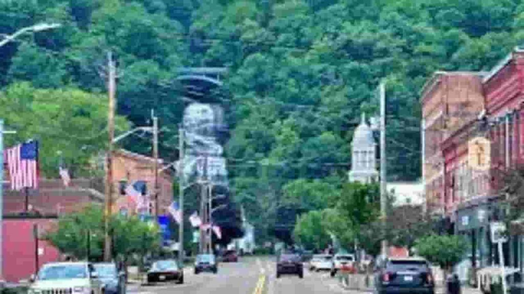
Montour Falls
1,013 parcels
1,457 Parcels
Schuyler County Property Search Tool – 4 Methods
The Schuyler County, New York property lookup system provides easy access to parcel records, ownership data, and tax details through multiple search methods.
Search By Owner Name
Users can locate property records using the owner name search feature. It retrieves ownership history, tax records, and parcel details across Schuyler County, supporting efficient property identification and real estate research workflows.
Search By Address
The address-based search allows users to enter a property location and quickly access parcel boundaries, valuation data, and ownership information, ensuring accurate property lookup within Schuyler County records.
Search By Parcel PIN
Each parcel has a unique Parcel Identification Number (PIN). Using this, users can directly access legal descriptions, tax assessments, and ownership data with high precision in Schuyler County property systems.
Search By City Name
Users can search by city or town name to filter property results. This method helps when exact details are unknown and supports broader property data discovery within Schuyler County, New York.
Property Search Tool Information – Schuyler County, New York
The Schuyler County property database delivers complete real estate insights, including parcel records, ownership details, tax assessments, zoning classification, and GIS mapping data. It supports accurate property research, valuation analysis, and public record transparency.
Parcel PIN
The Parcel PIN is a unique identifier assigned to each property in Schuyler County. It enables accurate property lookup, tax record access, and ownership verification, improving efficiency in real estate databases and GIS mapping systems.
Owner Address
The owner address represents the official mailing location for property-related communication. It ensures proper delivery of tax bills, notices, and legal documents, supporting administrative accuracy within Schuyler County property records.
Administration Code
The administration code helps organize property records within internal systems. It supports data indexing, parcel tracking, and record management, improving efficiency of assessment and GIS operations across Schuyler County.
Owner Identity
The owner identity section confirms the legally registered property holder. It is essential for ownership verification, legal clarity, and tax responsibility tracking in Schuyler County property databases.
Legal Identification
The legal description defines property boundaries using official terminology. It ensures accurate land identification, ownership validation, and transaction clarity across Schuyler County real estate records.
Tax Parcel Use Code
The tax parcel use codes classify land into categories like residential, commercial, or agricultural. These codes support tax assessment, zoning compliance, and land-use planning within Schuyler County systems.
Zoning Code
The zoning code determines land use regulations and development rules. It ensures proper construction control, land classification, and planning compliance across Schuyler County property areas.
GIS Acres
The GIS acres measurement defines property size using geospatial mapping tools. It helps users understand exact land dimensions, parcel boundaries, and area calculations within Schuyler County GIS systems.
Construction Date
The construction date shows when a building was originally built. It helps estimate property age, structural condition, and depreciation factors in Schuyler County real estate analysis.
Gross Living Area
The gross living area (GLA) measures total usable interior space. It supports property comparison, valuation accuracy, and assessment calculations in Schuyler County housing data.
Building Code
The building code identifies structural classification and compliance standards. It ensures safety regulations, construction quality, and property data consistency in Schuyler County systems.
Water Supply
The water supply field defines the source of water such as public systems or private wells. It supports infrastructure planning and utility analysis within Schuyler County.
Sewerage System
The sewerage system identifies waste disposal methods including public sewer or septic systems. It supports environmental compliance and infrastructure tracking in Schuyler County.
Property Valuation Date
The property valuation data provides estimated property worth based on assessment records and market trends. It supports taxation, investment analysis, and real estate evaluation.
Net Assessed Land Value
The net assessed land value reflects taxable land value after adjustments. It ensures accurate property tax calculation and fair assessment reporting in Schuyler County.
Full Site Address
The full site address shows the exact physical location of the property. It helps in parcel identification, GIS mapping, and ownership verification processes.
Mailing Address
The mailing address is used for official communication including tax bills and notices. It ensures proper delivery and administrative accuracy in Schuyler County property records.
Site Address Zip
The ZIP code identifies the postal region of the property. It improves geographic classification, search accuracy, and parcel indexing within Schuyler County systems.
Schuyler County, NY Property Tax & Community Data
Community-level property and tax insights across Schuyler County, New York. This dataset includes estimated parcels, population, land area, preliminary millage rates, and median property tax bills for better real estate and tax understanding.
| City / Community Name | Parent Municipality | Total Parcels (Est.) | Total Population (2026) | Area (Sq Mi) | Preliminary Millage Rate (2026) | Median Tax Bill (Est.) |
|---|---|---|---|---|---|---|
| Hector | Town of Hector | ~4,800 | 4,604 | 102.0 | 4.49 | $3,450 |
| Dix | Town of Dix | ~2,500 | 3,392 | 36.0 | 4.49 | $3,210 |
| Montour | Town of Montour | ~1,600 | 2,112 | 19.0 | 4.49 | $3,180 |
| Watkins Glen | Village of Watkins Glen | ~1,100 | 1,691 | 2.0 | 4.49 | $3,650 |
| Reading | Town of Reading | ~1,450 | 1,627 | 27.0 | 4.49 | $3,850 |
| Tyrone | Town of Tyrone | ~1,550 | 1,510 | 37.0 | 4.49 | $2,980 |
| Catharine | Town of Catharine | ~1,300 | 1,472 | 32.0 | 4.49 | $3,050 |
| Montour Falls | Village of Montour Falls | ~950 | 1,465 | 3.0 | 4.49 | $3,120 |
| Orange | Town of Orange | ~1,150 | 1,309 | 54.0 | 4.49 | $2,740 |
| Cayuta | Town of Cayuta | ~550 | 445 | 20.0 | 4.49 | $2,580 |
| Odessa | Village of Odessa | ~450 | 506 | 1.0 | 4.49 | $2,950 |
| Burdett | Village of Burdett | ~350 | 311 | 1.0 | 4.49 | $2,840 |
FAQs
How can I perform a Schuyler County property search by owner name?
You can search property records using the official county assessment system (PROS) or third-party tools. Enter the owner’s name to access parcel details, ownership history, and assessment data instantly.
Is Schuyler County property search free to use?
Yes, basic property lookup tools, including parcel viewer and tax maps, are publicly accessible at no cost. However, detailed reports or premium datasets may require registration or paid access on external platforms.
How do I view Schuyler County property maps and parcel boundaries?
You can use the county’s official parcel viewer or GIS mapping tools to explore property boundaries, zoning layers, and aerial imagery. These maps allow zooming to parcel level and clicking properties for detailed insights.
Where can I find Schuyler County tax bills and property tax information?
Property tax bills, assessment rolls, and tax rates are available through the county Real Property Tax Service office. These records include payment history, assessed values, and tax calculations for each parcel.
What information is included in Schuyler County parcel viewer or tax map systems?
Parcel viewer systems provide ownership details, land size, building data, assessed value, and zoning classification. They integrate GIS mapping and tax records to give a complete overview of each property.