Yates County Property Records & Appraiser Overview
In Yates County, New York, there are approximately 15,800 parcels available for public access. You can search property records using owner name, parcel ID, or address. Enter Parcel ID (like 06504400020060000000 or SBL 65.44-2-6) to view ownership, tax data, and full property details instantly.
New York Property Search
Search the public New York statewide parcel API by parcel number, owner name, or site address.
Yates County’s property data system maintains updated parcel records for public use. It includes 27,645 matched buildings and 16,484 secondary addresses. Zoning data is standardized for 2,023 parcels, ensuring accurate assessment, mapping, and taxation records across the region.
Total Residential Properties
11,737
Total Commercial Properties
709
Avg. Home Age
Avg. Square Feet
Total Residential Sales 2026
11
Homes Seriously Underwater
0.46%
Residential Sales 2025 year
313
Equit Rich Homes
29.22%
Effective 2026 Property Tax
Total Foreclosure Filings
N/A
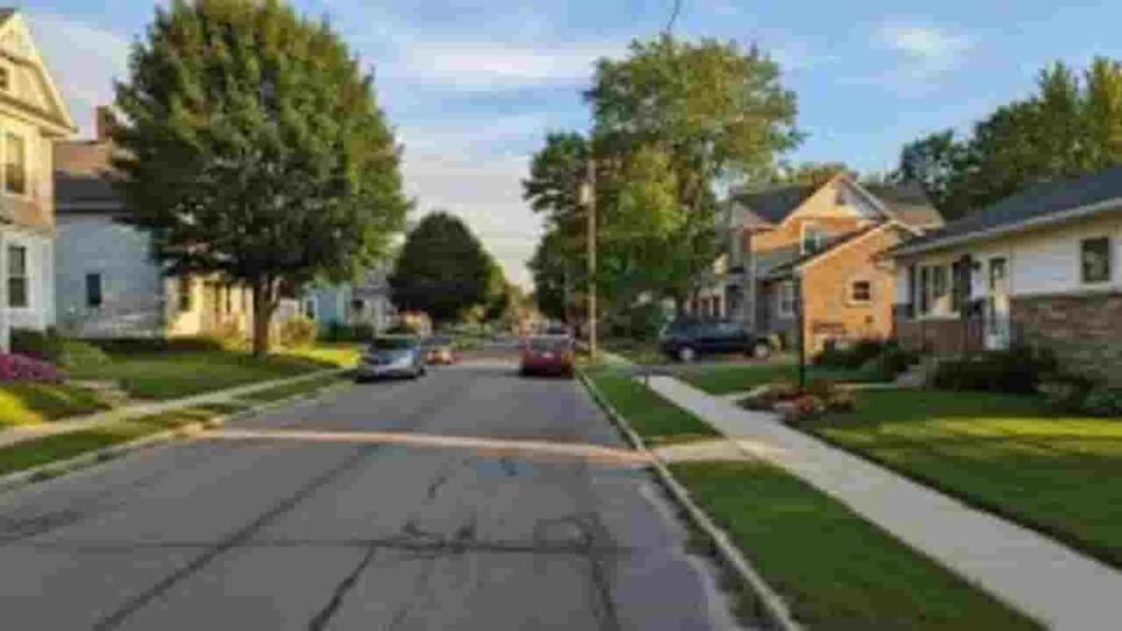
GIS Map & County Overview
This region covers a moderate geographic area with a mix of land and water features. Property data is supported through GIS mapping systems. The population is stable, and housing values reflect rural and lake-influenced market trends.
- Total Area: ~376 sq. miles
- Land Area: ~338 sq. miles
- Water Area: ~38 sq. miles
- Median Home Value: ~$185,000
- Population: ~25,000
Nearby Counties
Key Communities in Yates County
Dundee
2,722 Parcels

Penn Yan
6,008 parcels
1,200 Parcels
Property Search Methods Available
The property lookup system for this county provides 4 easy search methods. Users can access ownership, tax records, and parcel details online without cost. It supports accurate and fast real estate data retrieval.
Search By Owner Name
Enter a full property address to retrieve parcel data quickly. This method provides location-based results, including ownership, tax assessments, and property characteristics within the county database.
Search By Address
Enter a full property address to retrieve parcel data quickly. This method provides location-based results, including ownership, tax assessments, and property characteristics within the county database.
Search By Parcel PIN
Use a unique parcel identification number to access exact records. This is the most precise search method, delivering detailed property data including ownership history, tax information, and legal records.
Search By City Name
If limited details are available, search using a city or community name. This helps filter properties within a specific location and refine results using map-based or address-based tools.
Property Search Tool Data Coverage
The property records system provides detailed and reliable information for every search. Users can access ownership data, land values, tax records, zoning details, and assessment information for informed decision-making.
Parcel PIN
In Yates County, New York, the parcel identification number is a unique code assigned to each property. It ensures accurate tracking of ownership, tax records, and parcel data across official systems for efficient property lookup and verification processes.
Owner Address
The owner address field identifies the full physical location of a property. It includes street and geographic details that help users verify parcel position and understand the exact location within mapping and property record systems.
Administration Code
The administration code helps organize internal property records. It categorizes parcel data related to taxation, zoning, and ownership, improving data management efficiency and ensuring structured access within official record systems.
Owner Identity
Owner identity records in Yates County, New York display the legally registered property holder. This helps users verify ownership status, confirm legal rights, and identify responsible individuals for tax obligations and property transactions.
Legal Identification
Legal descriptions define property boundaries using official language. These records ensure accurate identification during ownership transfers, legal documentation, and property verification processes across county databases.
Tax Parcel Use Code
Tax use codes classify properties by usage type such as residential, commercial, or agricultural. These classifications determine taxation rules and help users understand how each parcel is categorized within assessment systems.
Zoning Code
In Yates County, New York, zoning codes define land use regulations and development limits. They guide construction, land use planning, and compliance with local zoning laws for residential and commercial properties.
GIS Acres
GIS acreage represents land size measured using mapping technology. It provides accurate parcel dimensions and supports spatial analysis, helping users understand land boundaries and geographic positioning.
Construction Date
Construction year shows when the primary structure was built. This helps estimate property age, evaluate condition, and understand potential maintenance or renovation needs.
Gross Living Area
In Yates County, New York, gross living area measures total usable interior space. It plays a key role in property valuation, housing comparisons, and market analysis for residential properties.
Building Code
Building codes define construction standards and classifications. They ensure structural safety compliance and provide insight into building type, materials, and design characteristics.
Water Supply
Water supply data indicates whether a property uses public water systems or private wells. It helps assess utility availability and infrastructure conditions for residential and commercial properties.
Sewerage System
In Yates County, New York, sewerage system data identifies whether properties connect to public sewer lines or septic systems. This affects maintenance, environmental compliance, and property usability.
Property Valuation Date
Property valuation data provides a breakdown of land and improvement values. It supports accurate tax assessment and ensures transparency in property valuation methods.
Net Assessed Land Value
Net assessed land value represents the taxable value of land excluding structures. It serves as a base for calculating property taxes and understanding land worth within official records.
Full Site Address
The full site address provides the exact physical location of a property. It includes street and locality details, enabling accurate identification and verification within mapping and property systems.
Mailing Address
In Yates County, New York, the mailing address shows where official notices and tax documents are sent. It may differ from the property location but ensures proper communication with property owners.
Site Address Zip
ZIP code data identifies the postal region linked to a property. It improves search accuracy, supports mailing processes, and helps classify properties geographically within official systems.
Yates County, NY Property Tax & Community Data
Community-level property and tax insights across Yates County, New York. This dataset includes estimated parcels, population, land area, preliminary millage rates, and median property tax bills for better real estate and tax understanding.
| City / Community Name | Parent Municipality | Total Parcels (Est.) | Total Population (2026) | Area (Sq Mi) | Preliminary Millage Rate (2026) | Median Tax Bill (Est.) |
|---|---|---|---|---|---|---|
| Milo | Town of Milo | ~3,350 | 6,786 | 38.0 | $4.02 | $3,745 |
| Penn Yan | Village of Penn Yan | ~2,100 | 4,978 | 2.0 | $4.02 | $3,810 |
| Jerusalem | Town of Jerusalem | ~3,800 | 4,142 | 59.0 | $4.02 | $4,580 |
| Starkey | Town of Starkey | ~1,950 | 3,344 | 33.0 | $4.02 | $3,320 |
| Benton | Town of Benton | ~1,600 | 2,945 | 41.0 | $4.02 | $3,650 |
| Potter | Town of Potter | ~1,100 | 1,819 | 37.0 | $4.02 | $3,280 |
| Dundee | Village of Dundee | ~750 | 1,665 | 1.0 | $4.02 | $3,150 |
| Barrington | Town of Barrington | ~1,450 | 1,562 | 36.0 | $4.02 | $3,440 |
| Middlesex | Town of Middlesex | ~1,200 | 1,349 | 31.0 | $4.02 | $3,520 |
| Torrey | Town of Torrey | ~950 | 1,290 | 23.0 | $4.02 | $3,610 |
| Italy | Town of Italy | ~850 | 1,098 | 40.0 | $4.02 | $3,050 |
| Rushville | Village of Rushville | ~400 | 683 | 1.0 | $4.02 | $2,980 |
| Dresden | Village of Dresden | ~250 | 288 | 0.5 | $4.02 | $3,120 |
FAQs
How can I perform a Yates County property tax lookup by address?
You can search using a full property address through the official county property or tax portal. Enter the street details accurately to access tax bills, assessed value, parcel data, and ownership records instantly.
Is Yates County, New York property search by owner name available online?
Yes, you can search property records by entering the owner’s name. This method helps locate parcels, ownership history, and related tax details, especially when the exact address or parcel ID is not known.
Where can I view the Yates County property search map?
The county GIS map tool allows users to visually explore parcels. You can zoom, click properties, and view boundaries, zoning, acreage, and tax-related data directly on the interactive mapping system.
How do I access Yates County tax bills online?
Yates County tax bills are available through the official tax or real property system. Users can search by address, parcel number, or owner name to view, download, or print current and past tax bills.
What information is included in Yates County real property records?
Real property records include parcel ID, owner details, property address, assessed value, land data, zoning classification, and tax history. These records support property research, legal verification, and real estate decision-making.