Cattaraugus County Property Appraiser, Search Your Record Lookup
“In Cattaraugus County, New York with 49,568 parcels, you can access property records using parcel number, owner name, or property address. Enter Parcel ID (like 06504400020060000000 or SBL 65.44-2-6) format to view ownership details, tax data, and complete parcel-level information instantly.”
New York Property Search
Search the public New York statewide parcel API by parcel number, owner name, or site address.
The property database in Cattaraugus County, New York manages updated parcel and building records for public access. It includes 49,568 parcels with a latest refresh date of 2026-01-27. There are 73,240 matched buildings, based on imagery from 2008, 2017, 2019, 2021. Secondary address records total 54,152, updated on 2026-01-01.
Total Residential Properties
34,378
Total Commercial Properties
2,527
Avg. Home Age
Avg. Square Feet
Total Residential Sales 2026
203
Homes Seriously Underwater
0.64%
Residential Sales 2025 year
1,845
Equit Rich Homes
5.43%
Effective 2026 Property Tax
Total Foreclosure Filings
10
Cattaraugus County GIS Map and Overview
GIS mapping in Cattaraugus County, New York integrates parcel layers, aerial imagery, and zoning data. It helps visualize land boundaries, ownership patterns, and infrastructure planning across the region.
- Total Parcels: 49,568
- Matched Buildings: 73,240
- Secondary Addresses: 54,152
- Standardized Zoning Parcels: 7,183
- Zoning Source Date: 2024-11-04
- Address Source Date: 2026-01-01
Nearby Counties
Famous Cities in Cattaragus County
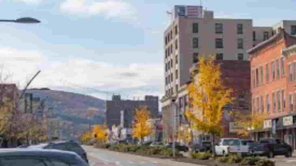
Olean
7,853 Parcels
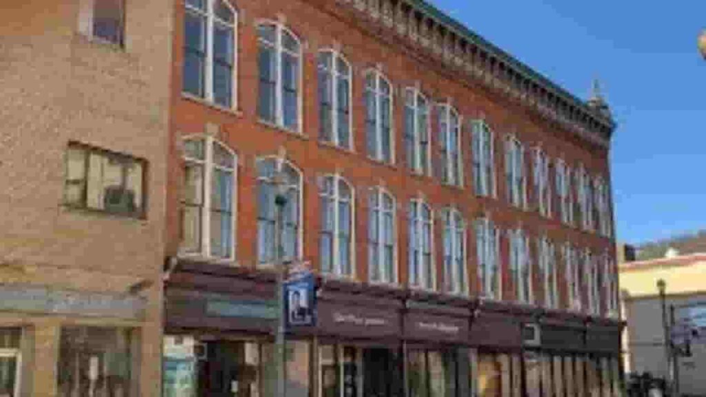
Salamanca
3,200 parcels

1908 Parcels
Cattaraugus County Property Search Tool Has 4 Best Method
The property search system in Cattaraugus County, New York allows users to access parcel data online for free. It supports search by owner name, parcel PIN, address, or city. Users can instantly view ownership, tax records, and property history.
Search By Owner Name
Search using the property owner’s name to locate records within county databases. This method helps identify ownership details, linked parcels, and associated property data quickly and efficiently.
Search By Address
Enter a full property address to retrieve parcel information. This method provides location-based results including ownership records, valuation data, and property characteristics for accurate identification.
Search By Parcel PIN
Use a Parcel Identification Number for precise lookup. This unique identifier ensures exact matching of records, allowing users to access detailed parcel data without confusion or duplicate results.
Search By City Name
Search by entering a city or community name in the address field. This helps filter results within specific local areas when limited property details are available.
Cattaraugus County Property Search Tool Provide Information
The property search tool delivers complete real estate insights including ownership records, parcel boundaries, zoning classification, and tax assessments. It combines multiple datasets to provide accurate and structured property information.
Parcel PIN
Parcel PIN is a unique numeric identifier assigned to each property within the county system. It allows users to quickly locate accurate parcel records, ownership details, and tax data through official property search databases and mapping tools.
Owner Address
Owner address reflects the exact physical location of a property parcel. It includes street-level details and geographic identifiers that help users easily recognize where the property is situated within the local jurisdiction and mapping system.
Administration Code
Administration code is used to categorize and manage property records internally. It helps organize parcels within structured databases, ensuring efficient data processing, classification, and retrieval of records across various county administrative systems.
Owner Identity
Owner identity shows the registered property holder in official records. It supports ownership lookup in Cattaraugus County, New York by linking individuals or entities to parcels for verification and research purposes.
Legal Identification
Legal identification provides the formal description of property boundaries. It ensures accurate identification in deeds, contracts, and legal records, helping maintain clarity in ownership transfers and documentation processes.
Tax Parcel Use Code
Tax parcel use codes classify property types such as residential or commercial. These codes support tax lookup in Cattaraugus County, New York by defining usage categories and helping determine correct taxation.
Zoning Code
Zoning codes regulate land use and development rules. They are essential in GIS property search, helping users understand permitted uses, planning restrictions, and zoning classifications linked to parcels.
GIS Acres
GIS acres represent land size calculated using mapping systems. This data helps users understand parcel dimensions accurately and supports spatial analysis, land evaluation, and property comparison.
Construction Date
Construction date indicates when the structure was built. It helps estimate building age, structural condition, and potential maintenance needs for better real estate evaluation.
Gross Living Area
Gross living area measures the total interior usable space of a property. It is an important factor in valuation, influencing property comparisons and market analysis.
Building Code
Building code defines the structural classification of a property. It ensures standardized categorization within records, helping maintain consistency in documentation and property identification systems.
Water Supply
Water supply identifies the source of water service for a property. It may include municipal systems or private wells, helping users understand utility availability and infrastructure details.
Sewerage System
Sewerage system explains how wastewater is managed for a property. It identifies whether the parcel uses public sewer connections or private septic systems for proper sanitation handling.
Property Valuation Date
Property valuation data includes land and improvement values. It supports real property lookup in Cattaraugus County, New York by providing accurate assessment figures used in taxation and appraisal.
Net Assessed Land Value
Net assessed land value represents the taxable value of land only. It excludes improvements and helps determine base tax calculations for property assessments.
Full Site Address
Full site address provides the exact location of a parcel. It supports property search by address, allowing users to find records quickly and verify property details with precision.
Mailing Address
Mailing address shows where official documents and tax notices are sent. It may differ from the physical location, especially for non-resident property owners or managed properties.
Site Address Zip
Site address ZIP code identifies the postal region linked to the property. It helps improve search accuracy, verify location details, and organize records within geographic databases.
Cattaraugus County, NY Property Tax & Community Data
Community-level property and tax insights across Cattaraugus County, New York. This dataset includes estimated parcels, population, land area, preliminary millage rates, and median property tax bills for better real estate and tax understanding.
| City / Community Name | Total Parcels (Est.) | Total Population (2026) | Area (Sq Mi) | Preliminary Millage Rate (2026) | Median Tax Bill (Est.) |
|---|---|---|---|---|---|
| Olean (City) | ~6,200 | 13,467 | 6.2 | 11.20 | $2,950 |
| Salamanca (City) | ~2,800 | 5,878 | 6.2 | 9.45 | $1,800 |
| Allegany (Town) | ~3,100 | 7,441 | 71.7 | 11.20 | $2,780 |
| Yorkshire | ~1,850 | 3,792 | 36.4 | 11.20 | $2,650 |
| Portville | ~2,100 | 3,481 | 36.1 | 11.20 | $2,420 |
| Franklinville | ~2,250 | 2,802 | 52.0 | 11.20 | $2,310 |
| Randolph | ~1,900 | 2,469 | 36.3 | 11.20 | $2,580 |
| Machias | ~1,600 | 2,309 | 41.1 | 11.20 | $2,240 |
| Freedom | ~1,450 | 2,261 | 41.1 | 11.20 | $2,180 |
| Persia | ~1,100 | 2,207 | 21.0 | 11.20 | $2,350 |
| Ellicottville | ~2,950 | 1,315 | 45.1 | 11.20 | $3,920 |
| Carrollton | ~1,050 | 1,207 | 42.4 | 11.20 | $2,150 |
| Little Valley | ~1,100 | 1,675 | 30.1 | 11.20 | $2,290 |
| Ashford | ~1,450 | 1,961 | 52.1 | 11.20 | $2,480 |
| Great Valley | ~1,650 | 1,991 | 49.8 | 11.20 | $2,750 |
| Hinsdale | ~1,200 | 2,113 | 38.8 | 11.20 | $2,210 |
FAQs
How can I perform a Cattaraugus County Property Tax Search online?
You can access property tax records through the official portal of Cattaraugus County, New York. Enter a parcel ID or property address to view current tax bills, payment history, and assessed property values.
Is there a free property search available in Cattaraugus County, New York?
Yes, Cattaraugus County, New York offers free access to property records through its GIS and assessment tools. Users can search by owner name, parcel number, or address without any cost.
How do I search property records in Cattaraugus County by address?
To perform a property search by address, enter the full or partial address in the county’s online database. The system will return parcel details, ownership records, and property characteristics instantly.
Does Cattaraugus County provide a property search map?
Yes, the county provides an interactive GIS property search map. It allows users to view parcel boundaries, zoning information, aerial imagery, and ownership data across different locations.
How can I search property records in Cattaraugus County by owner name?
You can search by owner name using the county’s property search system. This method helps locate all parcels registered under a specific individual or entity along with tax and ownership details.