Ulster County, New York Property Appraiser, Search Your Record Lookup
“Users can explore property records through parcel ID, owner name, or street address. The system provides access to ownership details, tax records, and land data. For precise results, Enter Parcel ID (like 06504400020060000000 or SBL 65.44-2-6) to retrieve verified assessment and property information instantly.”
New York Property Search
Search the public New York statewide parcel API by parcel number, owner name, or site address.
The Ulster County, New York property database is maintained with updated parcel intelligence for public access and transparency. It includes around 87,005 parcels, with continuous updates from county appraisal systems. The dataset integrates land, ownership, and tax assessment records for accurate reporting.
Total Residential Properties
65,184
Total Commercial Properties
4,169
Avg. Home Age
Avg. Square Feet
Total Residential Sales 2026
349
Homes Seriously Underwater
0.5%
Residential Sales 2025 year
2,570
Equit Rich Homes
44.8%
Effective 2026 Property Tax
Total Foreclosure Filings
32
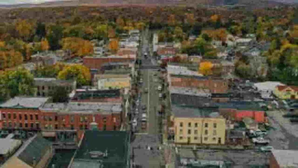
Ulster County, New York GIS Map & Regional Overview
The Ulster County, New York GIS system offers spatial mapping for land parcels, zoning layers, and property valuation insights. It supports public access to parcel boundaries and ownership data. GIS tools help users analyze land distribution and property density across the county.
- Total area: 476 sq. miles
- Land area: 458 sq. miles
- Water area: 18 sq. miles
- Median home value: $310,000 (approx.)
- Population: ~105,000 (2026 est.)
Nearby Regions
Famous Cities in Ulster County, New York
Kingston
12,800 Parcels

New Paltz
5,213 parcels

7,964 Parcels
Ulster County, New York Property Search Tool – 4 Best Methods
The Ulster County, New York property search system allows users to access real estate records online with ease. It provides fast lookup of ownership, tax, and parcel details using multiple search options. Users can retrieve verified county records in just a few clicks.
Search By Owner Name
This method allows users to locate properties using the registered owner’s name. It helps identify ownership history, linked parcels, and assessment data within Ulster County, New York records accurately.
Search By Address
Enter a complete property address to retrieve parcel-level data instantly. It displays ownership, valuation, and tax-related details linked to the specific location within Ulster County, New York.
Search By Parcel PIN
A Parcel Identification Number provides the most precise search method. It connects directly to official county records, ensuring fast access to property tax and land assessment details.
Search By City Name
If exact details are unknown, users can search using city names. This method filters property data within Ulster County, New York based on municipal boundaries and location grouping.
Ulster County, New York Property Search Tool – Data Coverage
The Ulster County, New York property search platform provides complete real estate intelligence. It supports searches by owner, parcel ID, or address. Users can access tax rolls, land values, ownership records, and official county assessment reports for informed decision-making.
Parcel PIN
The Parcel PIN is a unique identifier assigned to each property in Ulster County, New York. It ensures accurate retrieval of tax records, ownership data, and land details. This code is essential for precise property tracking and official county database access.
Owner Address
The owner address shows the physical location linked to the property parcel. In Ulster County, New York, it helps users identify exact site positioning, verify ownership location, and connect records with geographic mapping systems.
Administration Code
This code represents internal classification used by county systems. It helps organize property records, streamline tax processing, and maintain structured datasets for Ulster County, New York parcel management and valuation accuracy.
Owner Identity
Owner identity displays the registered legal property holder in county records. It helps verify ownership rights, track property history, and ensure transparency in Ulster County, New York real estate documentation.
Legal Identification
This section provides the official legal description of a property. It defines boundaries, parcel limits, and ownership structure, ensuring accurate legal referencing in Ulster County, New York property records.
Tax Parcel Use Code
These codes classify property usage such as residential, commercial, or agricultural. In Ulster County, New York, they support taxation accuracy, zoning enforcement, and structured property assessment systems.
Zoning Code
Zoning codes define land-use regulations and restrictions. They help determine how properties in Ulster County, New York can be developed or utilized under county planning rules and legal frameworks.
GIS Acres
GIS acres measure land area using geographic information systems. This provides precise spatial calculations for properties in Ulster County, New York, supporting mapping, planning, and valuation analysis.
Construction Date
This indicates the year a structure was built. It helps estimate building age, condition, and depreciation for properties across Ulster County, New York assessment records.
Gross Living Area
Gross living area measures total indoor usable space of a structure. In Ulster County, New York, it is used for valuation, comparison, and residential property analysis.
Building Code
Building codes classify structural types within property records. They support identification, regulation compliance, and valuation accuracy in Ulster County, New York datasets.
Water Supply
This field defines the water source type connected to a property. It helps assess infrastructure quality and utility access for properties in Ulster County, New York.
Sewerage System
Sewerage details indicate wastewater management systems. In Ulster County, New York, it helps evaluate infrastructure readiness and environmental compliance of properties.
Property Valuation Date
This represents combined land and improvement value. It supports taxation and market assessment for Ulster County, New York real estate records.
Net Assessed Land Value
This is the evaluated worth of land only, excluding structures. It helps determine base taxation value in Ulster County, New York property assessments.
Full Site Address
The full site address provides exact property location details. In Ulster County, New York, it ensures precise identification for ownership, mapping, and record verification.
Mailing Address
This is the official correspondence address for tax notices and legal documents. It may differ from the physical site location in Ulster County, New York records.
Site Address Zip
This ZIP code defines the postal region of the property location. It ensures accurate mail delivery and location validation within Ulster County, New York datasets.
Ulster County, New York Property Tax & Community Data
Community-level property insights across Ulster County, New York. This dataset includes estimated parcels, population figures, land area coverage, preliminary millage rates, and median property tax bills. It helps analyze local real estate trends and taxation structure for better decision-making.
| City / Community Name | Total Parcels (Est.) | Total Population (2026) | Area (Sq Mi) | Preliminary Millage Rate (2026) | Median Tax Bill (Est.) |
|---|---|---|---|---|---|
| Wallkill (Town) | ~11,000 | 31,785 | 62 | $5.12 | $4,850 |
| Kingston (City) | ~8,400 | 23,631 | 7 | $15.18 | $4,240 |
| Milton | ~5,600 | 19,606 | 36 | $5.49 | $4,120 |
| Saugerties (Town) | ~8,500 | 19,498 | 65 | $2.01 | $3,980 |
| New Paltz (Town) | ~5,400 | 15,567 | 34 | $4.85 | $4,350 |
| Shawangunk | ~4,900 | 13,382 | 56 | $18.05 | $3,520 |
| Ulster (Town) | ~5,900 | 12,608 | 27 | $4.87 | $4,150 |
| Wawarsing | ~6,100 | 12,447 | 131 | $3.32 | $2,980 |
| Lloyd | ~4,200 | 11,165 | 31 | $6.24 | $4,420 |
| Plattekill | ~3,900 | 10,342 | 35 | $5.92 | $3,210 |
| Esopus | ~3,700 | 9,532 | 37 | $5.10 | $3,850 |
| Marlborough | ~3,400 | 9,385 | 24 | $6.15 | $3,920 |
| Woodstock | ~4,100 | 6,194 | 67 | $4.23 | $5,120 |
| Hurley | ~2,800 | 6,107 | 30 | $3.95 | $4,280 |
| Marbletown | ~2,900 | 5,804 | 54 | $4.18 | $4,450 |
| Rosendale | ~2,300 | 5,671 | 20 | $3.58 | $3,650 |
| Gardiner | ~2,400 | 5,635 | 43 | $3.75 | $4,980 |
| Olive | ~2,100 | 4,293 | 58 | $3.42 | $3,780 |
| Shandaken | ~2,200 | 2,811 | 120 | $14.21 | $3,050 |
| Denning | ~850 | 479 | 106 | $7.87 | $2,580 |
| Hardenburgh | ~650 | 215 | 81 | $5.24 | $2,420 |
FAQs
How can I perform an Ulster County property owner search by name?
You can use the official county property database or GIS portal to search by owner name. Enter the full or partial name to view ownership records, parcel details, and tax information for properties in Ulster County, New York.
Is Ulster County property records search available online?
Yes, Ulster County property records online are accessible through public GIS and assessor systems. These tools provide deeds, ownership data, zoning details, and assessment records for residential and commercial parcels.
How do I search Ulster County property by address?
To search by address, enter the complete street location into the property search tool. It will return parcel ID, owner details, land value, and tax history linked to that specific property in Ulster County, New York.
Is there a free Ulster County property search tool?
Yes, free public access is available through county-supported databases. Users can search by name, address, or parcel number to get basic ownership and property assessment data without any cost.
Can I view Ulster County property records on a map?
Yes, the Ulster County property map (GIS system) allows users to visually explore parcels. It shows property boundaries, ownership layers, zoning information, and land-use details in an interactive format.