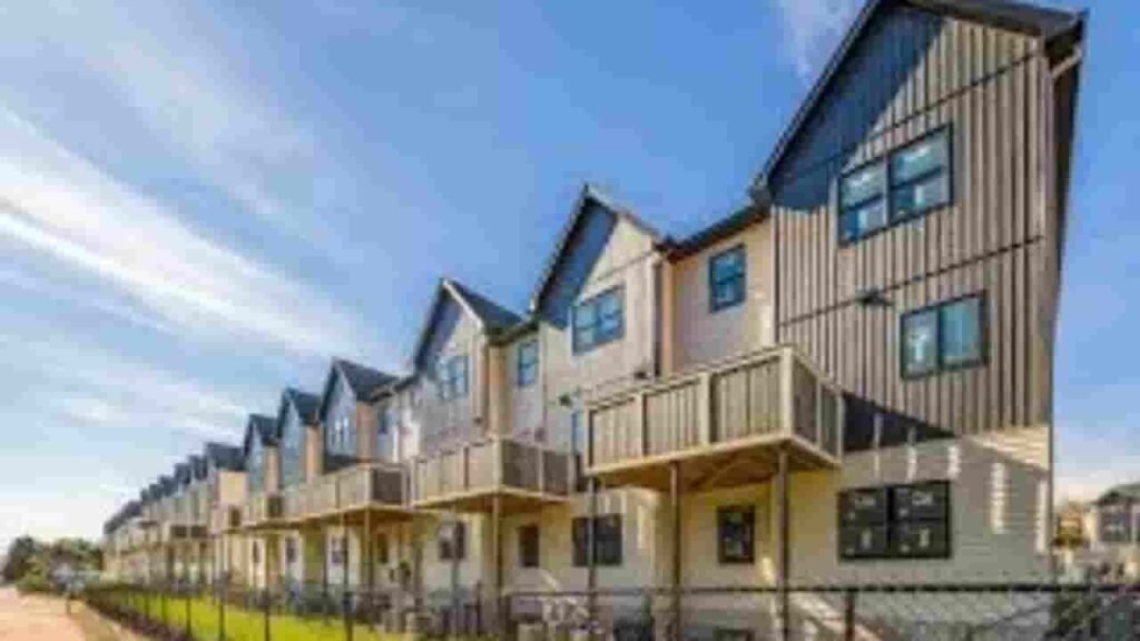
Rockland County Property Appraisal & Records Overview
In Rockland County, New York, public access includes over 92,801 parcels for property lookup. Enter Parcel ID (like 06504400020060000000 or SBL 65.44-2-6) for search records using owner name, parcel ID, or street address. The system supports fast retrieval of tax details, ownership data, and land information through structured search formats.
New York Property Search
Search the public New York statewide parcel API by parcel number, owner name, or site address.
The local assessment authority maintains a detailed and continuously updated property dataset. In this region, there are 92,801 parcels and 91,322 matched buildings. The system also tracks 143,366 secondary addresses, ensuring strong data accuracy. Zoning information is standardized across 83,734 parcels, supporting reliable property valuation and tax reporting workflows.
Total Residential Properties
79,972
Total Commercial Properties
3,886
Avg. Home Age
Avg. Square Feet
Total Residential Sales 2026
709
Homes Seriously Underwater
0.93%
Residential Sales 2025 year
4,225
Equit Rich Homes
48.67%
Effective 2026 Property Tax
Total Foreclosure Filings
73
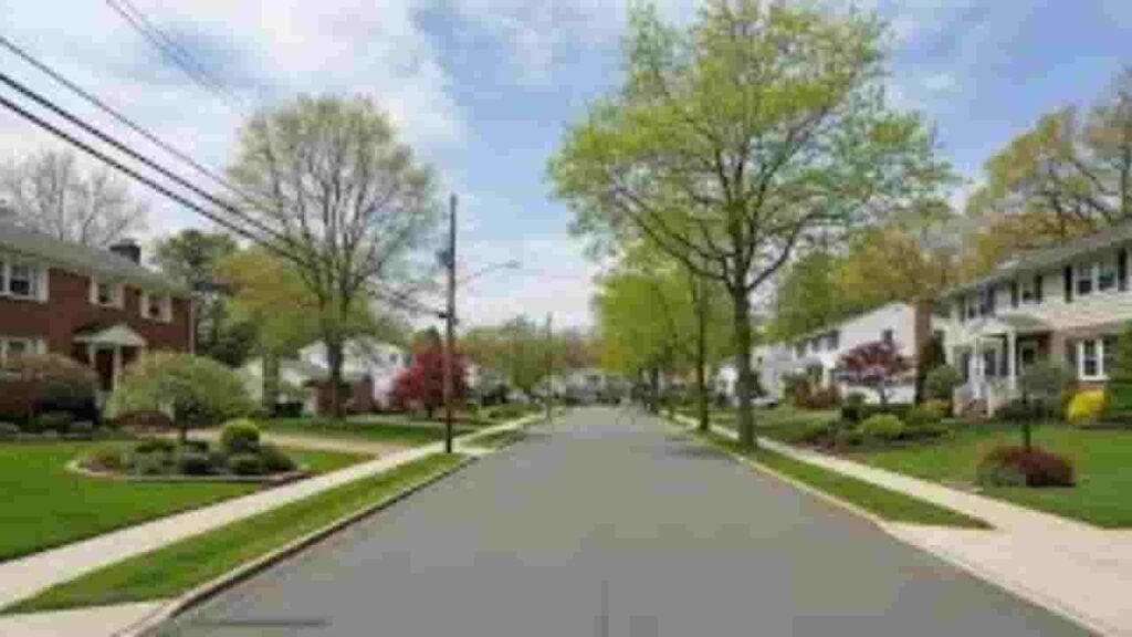
Rockland County, New York GIS Mapping & Regional Property Insights
The mapping system provides advanced GIS visualization for land and parcel tracking. Users can view property boundaries, zoning layers, and ownership structures. This supports accurate real estate evaluation and helps analyze land use patterns across the county.
- Total area: 199 sq. miles
- Land area: 174 sq. miles
- Water area: 25 sq. miles
- Median home value: $600,000
- Population: 340,000
Nearby Counties
Major Communities & Parcel Distribution
Monsey
7,592 Parcels

New City
10,467 parcels
10,696 Parcels
Rockland County, New York Property Search Methods (4 Core Options)
This property lookup system allows users to access public land records, ownership data, and tax information quickly. It supports multiple search formats for efficient navigation and accurate results.
Search By Owner Name
Search using the property owner’s name to retrieve ownership details, parcel records, and real estate information. This method helps identify multiple holdings linked to a single individual or entity.
Search By Address
Enter a complete street address to access property records, tax data, and valuation details instantly. This ensures precise location-based search results.
Search By Parcel PIN
Enter a complete street address to access property records, tax data, and valuation details instantly. This ensures precise location-based search results.
Search By City Name
Use a unique parcel identification number for exact record matching. It provides direct access to tax history, ownership data, and land assessment information without duplication errors.
What This Property Search System Provides
This advanced portal delivers complete property intelligence for users. It includes ownership records, land valuation, zoning classifications, tax data, and parcel mapping details. The system ensures accurate, verified, and up-to-date real estate information for research and analysis.
Parcel PIN
The parcel PIN is a unique identifier used to access property records. It allows users to retrieve accurate ownership data, tax details, and land information quickly from the official database system.
Owner Address
The owner address shows the registered mailing or physical location of a property owner. In Rockland County, New York, this helps verify ownership and ensures correct delivery of legal and tax-related documents.
Administration Code
The administration code supports internal data classification and record organization. It improves tracking of parcel information and ensures efficient processing within property assessment systems.
Owner Identity
The owner identity section displays the legally registered property holder. It confirms ownership rights and provides transparency within official land and property records.
Legal Identification
The legal description defines the exact boundaries and legal details of a property. It is essential for deeds, ownership verification, and real estate transactions.
Tax Parcel Use Code
Tax use codes categorize properties based on usage such as residential or commercial. They help determine tax obligations and classify parcels in official assessment systems.
Zoning Code
The zoning code defines land-use regulations and development permissions. It helps users understand property restrictions and planning rules within the region.
GIS Acres
GIS acres represent land size measured using geographic mapping tools. It helps evaluate property dimensions and compare parcels accurately using spatial data.
Construction Date
The construction date indicates when the structure was built. It helps estimate building age, condition, and long-term maintenance expectations.
Gross Living Area
The gross living area measures total usable interior space. It plays a key role in property valuation, appraisal, and market comparison analysis.
Building Code
The building code identifies construction type and compliance standards. It ensures proper classification and supports regulatory inspection systems.
Water Supply
The water supply section indicates the source of water service for the property. It may include municipal systems or private wells depending on infrastructure.
Sewerage System
The sewerage system explains wastewater management for a property. It identifies whether the parcel is connected to public sewer or private septic systems.
Property Valuation Date
Property valuation data includes land and improvement values. It supports accurate tax assessment and helps determine overall property worth.
Net Assessed Land Value
The net assessed land value represents land-only worth without improvements. It provides a baseline for taxation and land comparison analysis.
Full Site Address
The full site address provides the exact physical location of a property. It ensures accurate mapping and easy identification in property search systems.
Mailing Address
The mailing address shows where official notices and tax documents are sent. It may differ from the physical property location.
Site Address Zip
The ZIP code identifies the postal region of the property. It improves search accuracy and supports proper geographic classification.
Rockland County, NY Property Tax & Community Data
Community-level property and tax insights across Rockland County, New York. This dataset includes estimated parcels, population figures, land area, preliminary millage rates, and median property tax bills for accurate real estate and assessment analysis.
| City / Community Name | Parent Municipality | Total Parcels (Est.) | Total Population (2026) | Area (Sq Mi) | Preliminary Millage Rate (2026) | Median Tax Bill (Est.) |
|---|---|---|---|---|---|---|
| Ramapo | Town of Ramapo | 38,000 | 162,422 | 61.2 | 9.14 | $14,250 |
| Clarkstown | Town of Clarkstown | 25,500 | 89,415 | 38.0 | 9.14 | $12,880 |
| Orangetown | Town of Orangetown | 16,200 | 50,449 | 24.1 | 9.14 | $11,950 |
| Haverstraw | Town of Haverstraw | 9,100 | 40,230 | 22.0 | 9.14 | $9,420 |
| Stony Point | Town of Stony Point | 5,200 | 15,296 | 28.0 | 9.14 | $10,150 |
FAQs
How can I search Rockland County property by owner name?
You can perform a Rockland County property owner search using the official assessment database. Enter the owner’s full or partial name to access property records, ownership details, and parcel information instantly.
Is Rockland County, New York property search free?
Yes, most Rockland County, New York property search tools are free to use. Users can view parcel data, tax details, ownership records, and property assessments without any payment through public access systems.
How do I find Rockland County property records online?
You can access Rockland County property records online through the county’s official portal. Search using parcel ID, owner name, or address to retrieve tax, ownership, and valuation information.
How can I search Rockland County property by address?
To perform a Rockland County property search by address, enter the full street address into the search tool. It will show parcel details, tax records, ownership data, and property characteristics.
What does the Rockland County tax assessor property search provide?
The Rockland County tax assessor property search provides detailed assessment data, land value, tax history, zoning information, and ownership records for accurate real estate evaluation.