Rensselaer County Property Appraiser, Search Your Record Lookup
In Rensselaer County, New York, over 64,246 parcels are available for public search. Users can quickly find property records using owner name, parcel ID, or address. Enter Parcel ID (like 06504400020060000000 or SBL 65.44-2-6) for accurate results and instant access to ownership and tax data.
New York Property Search
Search the public New York statewide parcel API by parcel number, owner name, or site address.
Rensselaer County’s assessment system maintains detailed parcel and building records for transparency. The database includes 64,246 parcels and 91,783 matched buildings. Address datasets include 90,334 secondary addresses, updated recently for accuracy. Zoning classifications are standardized across 43,678 parcels, supporting reliable valuation, GIS mapping, and tax roll reporting.
Total Residential Properties
49,836
Total Commercial Properties
3,115
Avg. Home Age
Avg. Square Feet
Total Residential Sales 2026
346
Homes Seriously Underwater
0.45%
Residential Sales 2025 year
2,536
Equit Rich Homes
17.03%
Effective 2026 Property Tax
Total Foreclosure Filings
32
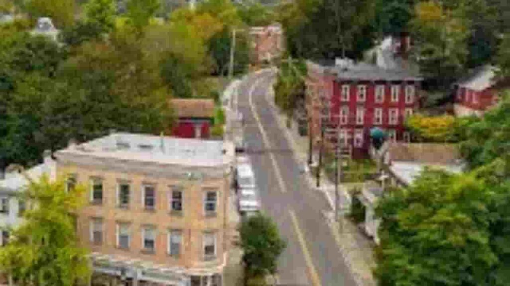
GIS Map and County Overview
Rensselaer County in eastern New York spans a diverse landscape with urban and rural zones. GIS mapping tools show parcel boundaries, land use, and ownership layers. Median home values remain stable, supporting consistent property insights and spatial analysis across the region.
- Total area: 665 sq. miles
- Land area: 652 sq. miles
- Water area: 13 sq. miles
- Median home value: $250,000
- Population: 161,000
Nearby Counties
Major Cities and Parcel Distribution

Troy
19,194 Parcels
East Greenbush
3,136 parcels

3,102 Parcels
Property Search Tool – 4 Easy Methods
The property lookup system in this New York county allows fast and free access to records. Users can search through multiple methods and retrieve complete ownership, tax, and parcel details within seconds.
Search By Owner Name
Enter the property owner’s full or partial name to locate matching ownership records. This method helps identify multiple properties under one owner within regional databases, including those located across different municipalities in the county.
Search By Address
Input a full street address to instantly access parcel data. This search method provides quick results including ownership, valuation, and tax details tied directly to the physical property location within mapped jurisdictions.
Search By Parcel PIN
Use a unique parcel identification number to perform precise searches. This ensures exact record retrieval without duplication, making it ideal for legal verification, tax lookup, and detailed property assessment data review.
Search By City Name
When limited information is available, users can search by city name. Entering a municipality helps filter property results broadly and is useful for exploring parcel data trends across different areas of the county.
Property Search Tool Provides Information
This advanced lookup tool delivers complete property intelligence with every search. It allows users to access ownership records, land values, tax data, zoning classifications, and structural details. The system ensures accurate, up-to-date results for real estate research and decision-making.
Parcel PIN
The parcel PIN is a unique code assigned to every property. In Rensselaer County systems, it ensures accurate identification of parcels, allowing users to quickly retrieve tax records, ownership data, and mapping details without confusion or duplication.
Owner Address
The owner address shows the registered mailing or physical location associated with property ownership. It helps users verify ownership details and ensures clarity when reviewing property records or sending official correspondence related to the parcel.
Administration Code
The administration code is used internally to manage parcel records and classification systems. It supports organized tracking, accurate assessment workflows, and consistent property data handling across government databases and digital record platforms.
Owner Identity
The owner identity section displays the legally recorded property owner. This information confirms ownership rights and helps users understand who holds title to the parcel within official county records and public data systems.
Legal Identification
The legal description defines the exact boundaries and location of the property using formal wording. It is essential for legal transactions, ensuring accurate identification in deeds and ownership records.
Tax Parcel Use Code
Tax use codes classify properties based on their usage type, such as residential or commercial. In Rensselaer County, New York, these codes help determine tax rates and explain how each parcel is categorized for assessment.
Zoning Code
The zoning code outlines permitted land use regulations. It helps property owners understand development limits, land usage permissions, and planning restrictions applied to a parcel.
GIS Acres
GIS acres represent the measured land size using mapping systems. In Rensselaer County, New York, this data provides accurate land area details, helping users evaluate and compare property sizes effectively.
Construction Date
The construction date indicates when the main structure was built. In Rensselaer County, New York, this helps estimate building age, condition, and potential maintenance requirements for the property.
Gross Living Area
The gross living area measures total interior usable space. It is an important factor in property valuation, influencing both market price and tax assessment outcomes.
Building Code
The building code identifies construction type and standards. It helps ensure compliance with regulations and supports consistent classification of structures during assessment.
Water Supply
The water supply section indicates the source of water available to the property. In Rensselaer County, New York, it may include public systems or private wells, helping users understand utility access.
Sewerage System
The sewerage system explains how waste is managed on the property. It identifies whether the parcel uses a public sewer connection or a private septic system.
Property Valuation Date
Property valuation data includes land and improvement values. In Rensselaer County, New York, this breakdown supports accurate tax calculations and helps users understand total assessed worth.
Net Assessed Land Value
The net assessed land value represents the value of land alone. It excludes structures and provides a baseline estimate used for taxation and property comparison.
Full Site Address
The full site address provides the exact physical location of the parcel. In Rensselaer County, New York, this ensures accurate mapping, identification, and easy record retrieval.
Mailing Address
The mailing address shows where tax bills and official notices are delivered. It may differ from the physical property location depending on the owner’s residence.
Site Address Zip
The ZIP code identifies the postal region of the property. It improves search accuracy and helps verify the correct parcel location during record lookup.
Rensselaer County, NY Property Tax & Community Data
Community-level property and tax insights across Rensselaer County, New York. This dataset includes estimated parcels, population, land area, preliminary millage rates, and median property tax bills to support accurate real estate analysis and tax understanding.
| City / Community Name | Parent Municipality | Total Parcels (Est.) | Total Population (2026) | Area (Sq Mi) | Preliminary Millage Rate (2026) | Median Tax Bill (Est.) |
|---|---|---|---|---|---|---|
| Troy | City of Troy | 18,500 | 51,401 | 11.0 | 3.23 | $4,250 |
| Rensselaer | City of Rensselaer | 3,300 | 9,577 | 3.3 | 3.23 | $5,847 |
| East Greenbush | Town of East Greenbush | 6,500 | 16,707 | 24.3 | 3.23 | $5,120 |
| North Greenbush | Town of North Greenbush | 5,800 | 13,777 | 19.0 | 3.23 | $4,850 |
| Schodack | Town of Schodack | 6,200 | 13,066 | 62.0 | 3.23 | $4,420 |
| Brunswick | Town of Brunswick | 5,400 | 12,604 | 44.0 | 3.23 | $4,380 |
| Sand Lake | Town of Sand Lake | 4,200 | 8,425 | 35.0 | 3.23 | $4,150 |
| Schaghticoke | Town of Schaghticoke | 3,800 | 7,380 | 50.0 | 3.23 | $3,650 |
| Hoosick | Town of Hoosick | 3,500 | 6,800 | 63.0 | 3.23 | $3,280 |
| Pittstown | Town of Pittstown | 2,800 | 5,473 | 62.0 | 3.23 | $3,150 |
| Nassau | Town of Nassau | 2,600 | 4,536 | 44.0 | 3.23 | $2,980 |
| Poestenkill | Town of Poestenkill | 2,100 | 4,443 | 32.0 | 3.23 | $3,840 |
| Stephentown | Town of Stephentown | 1,600 | 2,813 | 58.0 | 3.23 | $2,870 |
| Grafton | Town of Grafton | 1,400 | 2,128 | 45.0 | 3.23 | $2,950 |
| Berlin | Town of Berlin | 1,100 | 1,724 | 60.0 | 3.23 | $2,740 |
| Petersburgh | Town of Petersburgh | 950 | 1,389 | 42.0 | 3.23 | $2,650 |
FAQs
How can I access Rensselaer County property tax records online?
You can access Rensselaer County property tax records online through official county portals. Search using owner name, parcel ID, or property address to view tax bills, payment history, and assessed property values instantly.
Is there a free property search tool available in Rensselaer County, New York?
Yes, Rensselaer County, New York offers free property search tools. Users can explore property records, ownership details, tax data, and parcel information without any cost through public access systems.
How do I search property records by address in Rensselaer County?
To perform a property search by address, enter the full street address in the county’s search tool. This returns parcel details, ownership records, tax assessments, and property characteristics linked to that specific location.
What is Rensselaer County ImageMate property search?
ImageMate is an online GIS-based system used in Rensselaer County to view parcel maps, property boundaries, ownership data, and assessment records. It provides interactive mapping and detailed land record insights.
Where can I find Rensselaer County public and clerk records online?
You can access Rensselaer County Clerk online records through the official clerk portal. It provides public records, deeds, mortgages, legal filings, and document archives for property and legal research.