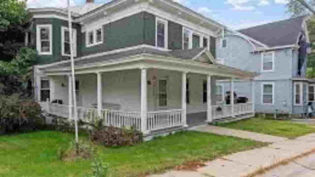
Schenectady County, New York Property Appraiser – Search Your Record Lookup
In Schenectady County, New York, the property appraisal system provides access to detailed parcel records, ownership data, and tax assessment information. Enter Parcel ID (like 06504400020060000000 or SBL 65.44-2-6) to access tax, ownership, and property details instantly. The county maintains 58,987 parcels, ensuring accurate and updated real estate lookup for public and professional use.
New York Property Search
Search the public New York statewide parcel API by parcel number, owner name, or site address.
The system currently manages 58,987 parcels and 80,056 matched buildings, along with 80,750 secondary address records for improved location accuracy. Data quality is strengthened through an address source update dated 2026-01-01, while 36,020 parcels have standardized zoning classification. The dataset was last refreshed on 2025-07-22, using building imagery from 2014, 2019, 2020, and 2021, with zoning data sourced on 2024-11-13, ensuring up-to-date and reliable property intelligence for Schenectady County, New York.
Total Residential Properties
48,865
Total Commercial Properties
2,992
Avg. Home Age
Avg. Square Feet
Total Residential Sales 2026
145
Homes Seriously Underwater
0.53%
Residential Sales 2025 year
1,916
Equit Rich Homes
39.6%
Effective 2026 Property Tax
Total Foreclosure Filings
11
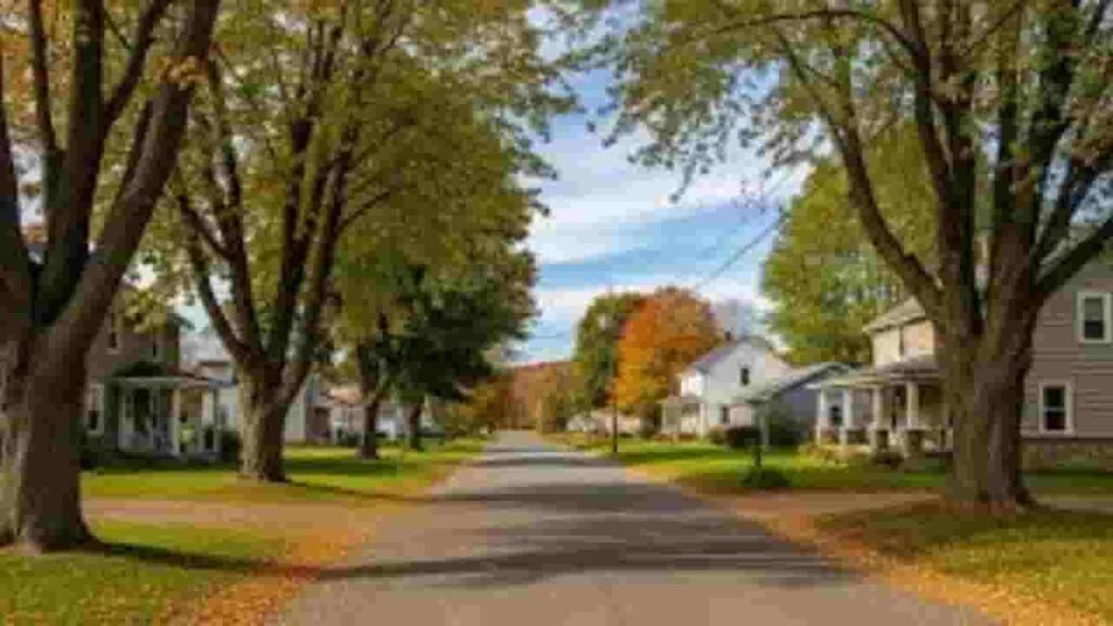
GIS Map & Property Overview – Schenectady County, New York
The GIS mapping system in Schenectady County, New York enables advanced parcel visualization, zoning verification, and land-use analysis. It combines satellite imagery, cadastral mapping, and assessment data to deliver precise geographic insights. This system supports urban planning, property valuation, and tax assessment accuracy. It helps users analyze parcel boundaries, land distribution, and structural layouts across the county.
- Total area: ~205 sq. miles
- Land area: ~200 sq. miles
- Water area: ~5 sq. miles
- Median home value: ~$290,000
- Population: ~155,000
Nearby Counties
Famous Cities in Schenectady County, New York

Schenectady
52,982 Parcels
Delanson
1,935 parcels
969 Parcels
Schenectady County Property Search Tool – 4 Best Methods
The property search platform in Schenectady County, New York allows users to access real estate data using multiple search filters. It delivers fast retrieval of ownership records, tax data, and parcel identification details.
Search By Owner Name
Users can search using the property owner name to access complete ownership records, tax history, and parcel details. This method helps identify multiple properties linked to a single owner across Schenectady County, New York.
Search By Address
Entering a full street address provides direct access to parcel records, valuation data, and zoning information. It ensures accurate identification of properties within the county database.
Search By Parcel PIN
Each property has a unique Parcel Identification Number (PIN) used for precise lookup. This ensures fast retrieval of tax records, legal description, and ownership verification data.
Search By City Name
Users can also search by city or community name when other details are unavailable. This helps filter results within Schenectady County, New York for easier property discovery.
Schenectady County Property Search Tool Information
The Schenectady County, New York property search system delivers complete access to parcel data, ownership details, tax valuation, GIS mapping, and zoning classification. It supports accurate real estate research, assessment analysis, and public record transparency.
Parcel PIN
The Parcel PIN in Schenectady County, New York is a unique identifier assigned to each property. It enables accurate access to parcel records, tax assessment data, and ownership details. This system improves real estate database efficiency and land tracking accuracy across the county.
Owner Address
The owner address represents the registered mailing location used for tax notices, legal communication, and property records. In Schenectady County, New York, it ensures proper ownership verification and administrative correspondence.
Administration Code
The administration code is used for internal data indexing, parcel management, and assessment organization. In Schenectady County, New York, it supports efficient handling of property datasets, tax records, and GIS mapping integration.
Owner Identity
The owner identity field confirms the legally registered property holder in Schenectady County, New York. It is essential for ownership validation, tax assessment accuracy, and real estate documentation within official county records.
Legal Identification
The legal property description defines the exact boundaries of a parcel using official terminology. In Schenectady County, New York, it ensures precise land identification, deed accuracy, and legal ownership clarity in real estate records.
Tax Parcel Use Code
The tax use codes classify properties based on residential, commercial, or agricultural usage. In Schenectady County, New York, these codes support tax assessment systems, zoning compliance, and property valuation models.
Zoning Code
The zoning code regulates land use under urban planning laws and development rules. In Schenectady County, New York, it ensures proper land classification, construction control, and GIS-based planning accuracy.
GIS Acres
The GIS acres measurement represents land size calculated using geospatial mapping technology. In Schenectady County, New York, it supports parcel analysis, boundary verification, and real estate evaluation accuracy.
Construction Date
The construction date indicates when a structure was originally built. In Schenectady County, New York, it helps assess property age, depreciation level, and real estate condition analysis.
Gross Living Area
The gross living area (GLA) measures total livable interior space of a property. In Schenectady County, New York, it supports valuation accuracy, property comparison, and tax assessment modeling.
Building Code
The building code identifies structural classification and compliance status. In Schenectady County, New York, it ensures construction regulation adherence, safety compliance, and property data standardization.
Water Supply
The water supply field describes the source of water service for a property. In Schenectady County, New York, it is part of infrastructure records, utility planning, and property assessment systems.
Sewerage System
The sewerage system identifies waste management infrastructure such as public sewer or septic systems. In Schenectady County, New York, it supports environmental compliance and property infrastructure analysis.
Property Valuation Date
The property valuation data represents the estimated financial worth of land and improvements. In Schenectady County, New York, it is essential for tax assessment, real estate analysis, and market valuation modeling.
Net Assessed Land Value
The net assessed land value is the taxable land value after adjustments and exemptions. In Schenectady County, New York, it ensures accurate tax calculation and fair property assessment reporting.
Full Site Address
The full site address provides the exact physical location of a property. In Schenectady County, New York, it supports parcel identification, GIS mapping, and ownership verification systems.
Mailing Address
The mailing address is used for official correspondence such as tax bills and legal notices. In Schenectady County, New York, it ensures reliable communication between county offices and property owners.
Site Address Zip
The site ZIP code identifies the postal region of a property location. In Schenectady County, New York, it improves geographic classification, tax jurisdiction accuracy, and parcel indexing systems.
Schenectady County, NY Property Tax & Community Data
Community-level property and tax insights across Schenectady County, New York. This dataset includes estimated parcels, population, land area, preliminary millage rates, and median property tax bills for real estate analysis and county-level understanding.
| City / Community Name | Total Parcels (Est.) | Total Population (2026) | Area (Sq Mi) | Preliminary Millage Rate (2026) | Median Tax Bill (Est.) |
|---|---|---|---|---|---|
| Schenectady (City) | ~21,500 | 69,495 | 11.0 | $15.77 | $5,340 |
| Rotterdam | ~11,800 | 31,610 | 36.4 | $40.77 | $6,785 |
| Niskayuna | ~9,200 | 23,278 | 15.1 | $32.46 | $8,496 |
| Glenville | ~8,900 | 29,480 | 50.1 | $43.47 | $6,025 |
| Duanesburg | ~2,950 | 6,050 | 73.5 | $13.50 | $3,850 |
| Princetown | ~950 | 2,130 | 24.1 | $12.80 | $3,420 |
FAQs
How can I search Schenectady County property by owner name?
You can search through the official Schenectady County Real Property Tax Service system using the owner name lookup option. It provides access to parcel details, assessed value, tax records, and ownership history for any registered property in the county.
Can I search Schenectady County property by address?
Yes, the county database supports street address-based search. Users can enter a full or partial address to view parcel ID, zoning details, tax assessment data, and property ownership records in real time.
What is Schenectady County Imagemate search used for?
The Imagemate GIS system is used for viewing interactive parcel maps, tax boundaries, and property imagery. It helps users identify land use, zoning classification, and geographic parcel structure across Schenectady County, New York.
Is Schenectady County property search free?
Yes, most property search tools in Schenectady County, New York are free to use. Users can access public records, tax information, GIS maps, and ownership data without any subscription or login requirement in many cases.
How can I check Schenectady County property tax records?
You can check property tax lookup data through the county’s real property tax portal. It provides tax bills, assessed value, exemptions, and payment history, helping users understand full property tax details for any parcel.