Otsego County, New York Property Appraiser Search Overview
The property assessment system in Otsego County, New York manages detailed real estate and parcel records for public access. Users can explore ownership, tax details, and land information using an advanced lookup system. Enter Parcel ID (like 06504400020060000000 or SBL 65.44-2-6) for Property search is available through owner name, address, or parcel ID for fast access to official records.
New York Property Search
Search the public New York statewide parcel API by parcel number, owner name, or site address.
In Otsego County, New York, the real estate system maintains structured digital mapping for public transparency. It supports ownership verification, tax review, and land analysis. The county currently manages 39,730 parcels and 60,698 matched buildings. Data integration includes aerial imagery collected from 2014, 2015, 2019, 2020, and 2022 for improved mapping accuracy. Secondary address matching has reached 40,822 records, ensuring precise property identification.
Total Residential Properties
25,094
Total Commercial Properties
2,067
Avg. Home Age
55 Years
Avg. Square Feet
1,711 sq. ft
Total Residential Sales 2026
154
Homes Seriously Underwater
0.51%
Residential Sales 2025 year
1,005
Equit Rich Homes
8.58%
Effective 2026 Property Tax
1.24%
Total Foreclosure Filings
1
Otsego County NY GIS Map & Property Overview
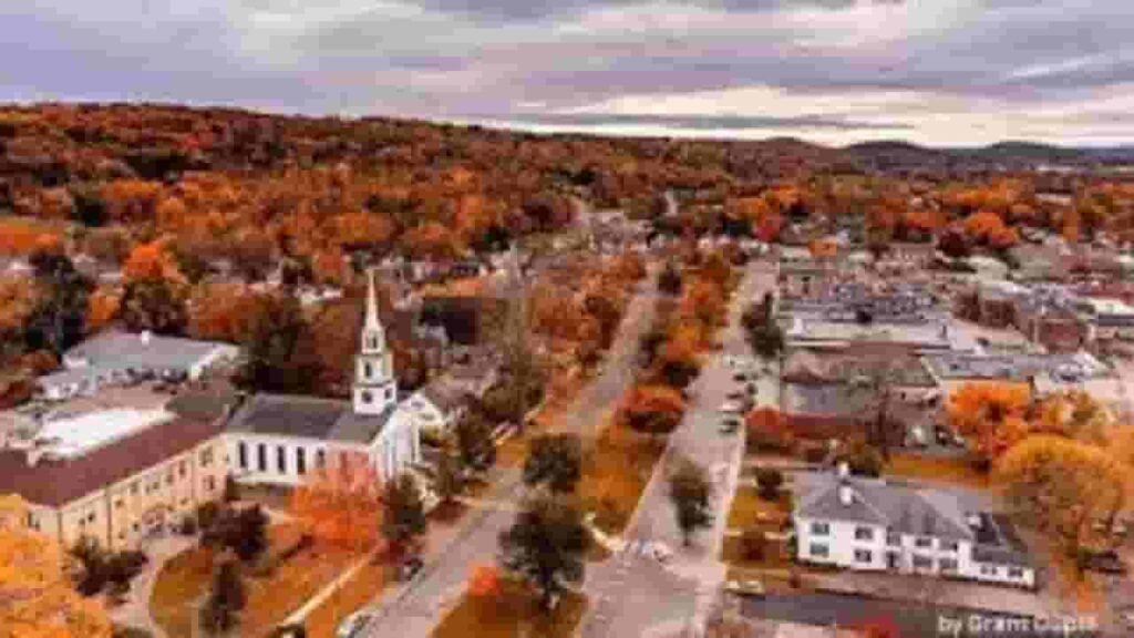
This county features a mix of rural land, small towns, and historical settlements. GIS mapping tools display parcel boundaries, land use, and zoning classifications for accurate spatial analysis and property planning.
- Total Area: ~1,003 sq. miles
- Land Area: ~993 sq. miles
- Water Area: ~10 sq. miles
- Median Home Value: ~$210,000
- Population: ~58,000
Nearby Counties
Major Communities in Otsego County NY
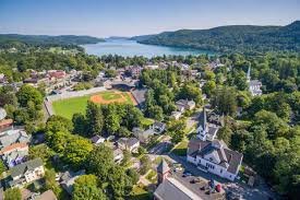
Cooperstown
2,972 Parcels
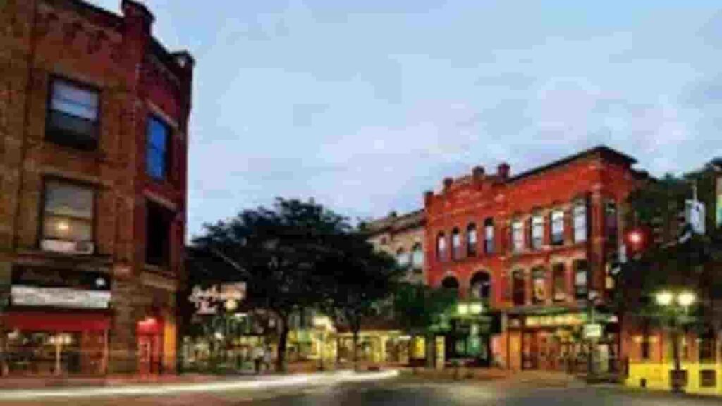
Oneonta
6,517 parcels
781 Parcels
Property Search Methods in Otsego County NY
The property search system allows users to access real estate records quickly. It supports multiple input methods such as name, address, and parcel ID. Results include ownership, tax, and valuation details.
Search By Owner Name
Owner-based search helps identify all properties linked to a specific individual. In Otsego County New York, this method is used for ownership verification, tax review, and real estate research.
Search By Address
Entering a full property address provides complete parcel information. In Otsego County New York, users can view ownership, tax records, zoning details, and land assessment data instantly.
Search By Parcel PIN
Parcel ID search delivers the most accurate results. In Otsego County New York, it directly retrieves a single property record without duplication or mismatched entries.
Search By City Name
City-based search allows users to explore grouped property records. In Otsego County New York, it is useful when exact parcel details are unknown.
Otsego County NY Property Search Tool Features
The property lookup system provides comprehensive data access. Users can retrieve ownership records, tax assessments, zoning codes, land value, and building details. It is designed for accurate real estate research and public transparency.
Parcel PIN
Parcel PIN is a unique property identifier used in Otsego County New York. It allows fast retrieval of tax, ownership, and land records with high accuracy and no duplication.
Owner Address
Owner address shows the official mailing or physical contact location. In Otsego County New York, it is used for tax communication, verification, and official documentation delivery.
Administration Code
This internal code organizes property records within county systems. In Otsego County New York, it supports structured classification and accurate tax record management.
Owner Identity
Owner identity displays the legally registered property holder. In Otsego County New York, it confirms ownership rights for legal, tax, and real estate verification purposes.
Legal Identification
Legal description defines official property boundaries. In Otsego County New York, it ensures accurate legal recognition of land ownership and parcel limits.
Tax Parcel Use Code
These codes classify property usage such as residential or commercial. In Otsego County New York, they determine taxation rules and property categorization.
Zoning Code
Zoning code defines land-use regulations and restrictions. In Otsego County New York, it controls development rights and planning permissions for each parcel.
GIS Acres
GIS acres measure land size using mapping technology. In Otsego County New York, this ensures precise land calculation for valuation and planning.
Construction Date
Construction date indicates the year a building was built. In Otsego County New York, it helps evaluate property age and structural condition.
Gross Living Area
Gross living area measures total usable indoor space. In Otsego County New York, it supports property valuation and size comparison analysis.
Building Code
Building code defines construction classification and compliance standards. In Otsego County New York, it ensures structural safety and regulatory approval.
Water Supply
Water supply details show utility source such as public or private systems. In Otsego County New York, it impacts infrastructure evaluation.
Sewerage System
Sewerage system indicates waste management type. In Otsego County New York, it helps assess utility infrastructure and environmental compliance.
Property Valuation Date
Property valuation includes land and improvement value combined. In Otsego County New York, it supports tax assessment accuracy and market estimation.
Net Assessed Land Value
Net land value represents only the land portion of a property. In Otsego County New York, it is used for base tax calculations.
Full Site Address
Full site address provides exact property location details. In Otsego County New York, it ensures precise identification in mapping and records.
Mailing Address
Mailing address is used for official correspondence. In Otsego County New York, it may differ from physical property location.
Site Address Zip
ZIP code identifies the postal region of the property. In Otsego County New York, it improves accuracy in record matching and verification.
Otsego County, NY Property Tax & Community Data
This dataset presents detailed community-level property and tax insights across Otsego County, New York. It includes parcel estimates, population data, land area, millage rates, and median tax bills to support accurate real estate analysis and planning.
| City / Community Name | Parent Municipality | Total Parcels (Est.) | Total Population (2026) | Area (Sq Mi) | Preliminary Millage Rate (2026) | Median Tax Bill (Est.) |
|---|---|---|---|---|---|---|
| Oneonta (City) | City of Oneonta | ~4,200 | 16,991 | 4.0 | 25.42 | $4,120 |
| Oneonta (Town) | Town of Oneonta | ~2,100 | 4,918 | 33.0 | 6.85 | $3,850 |
| Unadilla (Town) | Town of Unadilla | ~2,400 | 4,078 | 46.0 | 7.12 | $3,210 |
| Otsego (Town) | Town of Otsego | ~2,800 | 3,670 | 54.0 | 5.92 | $4,580 |
| Milford (Town) | Town of Milford | ~1,950 | 2,755 | 46.0 | 6.54 | $3,420 |
| Otego (Town) | Town of Otego | ~1,800 | 2,675 | 46.0 | 6.38 | $3,350 |
| Laurens (Town) | Town of Laurens | ~1,450 | 2,306 | 42.0 | 7.21 | $3,180 |
| Worcester | Town of Worcester | ~1,650 | 2,051 | 47.0 | 6.95 | $3,050 |
| Richfield | Town of Richfield | ~1,500 | 2,055 | 31.0 | 6.42 | $3,280 |
| Hartwick | Town of Hartwick | ~1,350 | 1,947 | 40.0 | 6.15 | $3,640 |
| Edmeston | Town of Edmeston | ~1,100 | 1,893 | 44.0 | 7.48 | $2,950 |
| Middlefield | Town of Middlefield | ~1,550 | 1,865 | 63.0 | 5.82 | $3,920 |
| Maryland | Town of Maryland | ~1,200 | 1,751 | 52.0 | 7.05 | $2,840 |
| Morris (Town) | Town of Morris | ~1,150 | 1,721 | 39.0 | 6.88 | $3,110 |
| Butternuts | Town of Butternuts | ~1,250 | 1,654 | 54.0 | 7.15 | $3,080 |
| Cherry Valley | Town of Cherry Valley | ~1,050 | 1,233 | 40.0 | 6.74 | $2,920 |
FAQs
How can I search Otsego County, NY property records by address or owner name?
You can use the official Otsego County Real Property Tax Office system to search records by owner name, parcel ID, or street address. It provides ownership details, assessed value, and tax history. Most records are publicly accessible through the county assessment database for fast lookup.
Where can I access the Otsego County, NY GIS property search map?
The Otsego County GIS property map allows users to view parcels, zoning, and land boundaries. It helps locate exact property locations using interactive mapping tools. This system is widely used for parcel identification, land analysis, and real estate verification.
How do I check Otsego County tax bills and property tax records online?
You can view Otsego County tax bills online through the county’s property tax portal. It shows annual tax amounts, payment status, and assessment breakdowns. Users can search by address or parcel number to retrieve complete billing information.
What is included in Otsego County deed search records?
A deed search in Otsego County, New York provides ownership history, transfer records, legal property descriptions, and mortgage details. These records are maintained by the county clerk and are useful for verifying legal ownership and title history.
How can I find Otsego County tax map lookup and parcel information for free?
You can access a free Otsego County tax map lookup system to view parcel boundaries, zoning codes, and property details. It supports search by parcel number, address, or owner name, helping users quickly locate accurate land and tax data.