Lewis County NY Property Records & Parcel Search Guide
In Lewis County NY, there are 24,634 parcels available for search. You can look up property records using parcel ID, owner name, or address. Enter Parcel ID (like 06504400020060000000 or SBL 65.44-2-6) to access tax details, ownership data, and full property insights instantly.
New York Property Search
Search the public New York statewide parcel API by parcel number, owner name, or site address.
Lewis County’s property system maintains updated parcel-level data for public access. The database includes 31,313 mapped buildings and 18,271 secondary addresses, ensuring accuracy. Recent updates (2026) improve address matching, zoning layers, and assessment records to support reliable property evaluation and tax reporting.
Total Residential Properties
14,475
Total Commercial Properties
927
Avg. Home Age
Avg. Square Feet
Total Residential Sales 2026
76
Homes Seriously Underwater
0.68%
Residential Sales 2025 year
523
Equit Rich Homes
25.09%
Effective 2026 Property Tax
Total Foreclosure Filings
1
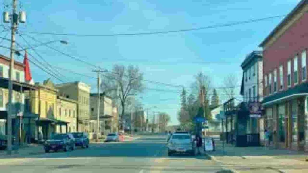
Lewis County NY GIS Map & Area Overview
This region covers nearly 1,290 square miles, mostly land with minimal water coverage. Population remains low-density compared to urban counties. The GIS system displays parcel boundaries, ownership layers, and land use classifications clearly for mapping and planning purposes.
- Total Area: ~1,290 sq. miles
- Land Area: ~1,275 sq. miles
- Water Area: ~15 sq. miles
- Median Home Value: ~$160,000
- Population: ~26,000
Nearby Counties
Notable Communities in the County
Croghan
1,217 Parcels

Copenhagen
1,093 parcels
928 Parcels
Property Search Methods (4 Easy Ways)
The property lookup system allows fast and free access to records. Users can search using multiple inputs. Results include ownership, tax data, sales history, and parcel insights within seconds.
Search By Owner Name
Enter the owner’s full or partial name to find matching property records. This method helps identify ownership history and associated parcels across the county database quickly.
Search By Address
Input a complete property address to retrieve exact parcel details. This includes tax data, structure information, and ownership records mapped to the entered location.
Search By Parcel PIN
Use the parcel identification number for precise results. This is the most accurate method to locate a single property record without confusion or duplicate matches.
Search By City Name
If exact details are unknown, enter a city name to browse available parcels. This helps users explore property listings within specific communities efficiently.
Lewis County NY Property Property Search Tool Information Coverage
The search tool delivers complete property-level data. Users can access ownership details, land value, tax records, zoning classification, and building characteristics. It supports accurate research, real estate decisions, and public record verification with structured and updated datasets.
Parcel PIN
Parcel PIN is a unique numeric identifier assigned to each property. In this region, it helps users quickly locate exact parcel records, tax data, and ownership details within the system without confusion or duplication.
Owner Address
Owner address shows the registered mailing or physical location of the property holder. It helps verify ownership records and ensures accurate communication related to tax notices and official documentation linked to the parcel.
Administration Code
Administrative code represents internal classification used by local authorities. It helps organize parcels for governance, tax tracking, and record management, ensuring that each property is correctly categorized within the county system.
Owner Identity
Owner identity displays the legally recorded name linked to a property. It confirms ownership rights and helps users verify who holds the title, which is essential for legal checks and real estate transactions.
Legal Identification
Legal description defines property boundaries using official wording. It ensures precise identification in legal records and helps avoid disputes by clearly outlining the parcel’s dimensions and geographical positioning.
Tax Parcel Use Code
This code classifies property usage such as residential, commercial, or agricultural. It helps determine tax rates and ensures accurate categorization of each parcel based on its functional use.
Zoning Code
Zoning code outlines land use restrictions and development rules. It helps users understand what type of construction or activity is permitted on the parcel under local planning regulations.
GIS Acres
GIS acres indicate the exact land size measured through mapping systems. This value helps users understand the total area of the property for planning, valuation, and comparison purposes.
Construction Date
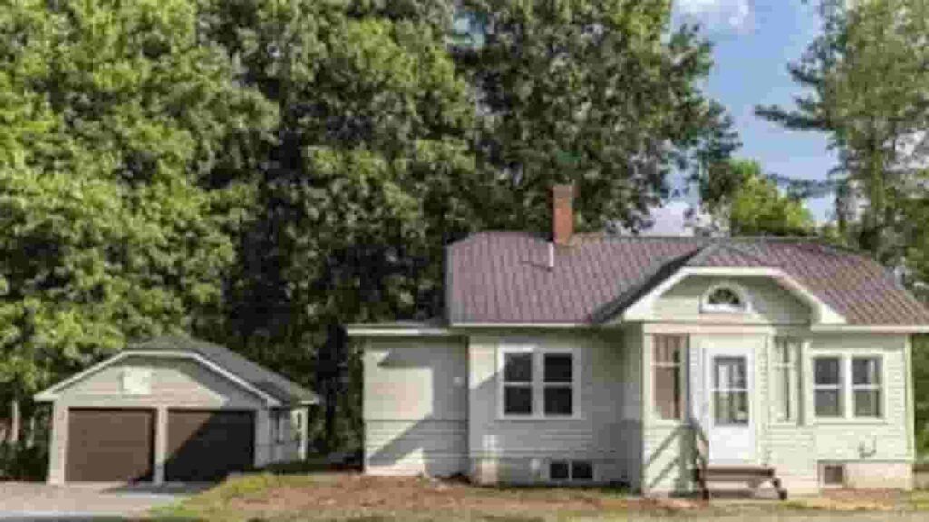
Construction date shows when the primary structure was built. It helps estimate building age, condition, and potential renovation needs for buyers or property analysts.
Gross Living Area
Gross living area measures the total usable interior space of a building. It includes all finished areas and helps determine property size for valuation and comparison purposes.
Building Code
Building code defines construction standards and classifications. It ensures that structures meet safety and regulatory requirements set by local authorities during development and inspection.
Water Supply
Water supply information shows how the property receives water. It may include public systems or private wells, helping users assess infrastructure and utility availability.
Sewerage System
Sewer system details explain how waste is managed on the property. It may involve public sewer lines or septic systems, which impacts maintenance and compliance requirements.
Property Valuation Date
Property valuation data includes land and improvement values. It provides a detailed breakdown used for tax assessment and helps users understand how the total property value is calculated.
Net Assessed Land Value
Net assessed land value represents the worth of land excluding structures. It is important for tax calculations and reflects the base value assigned by assessors.
Full Site Address
Full site address identifies the exact physical location of the parcel. It includes street, city, and geographic details, helping users locate the property accurately.
Mailing Address
Mailing address is where official documents are sent. It may differ from the property location, especially for investors or non-resident owners managing multiple properties.
Site Address Zip
ZIP code defines the postal region of the property. It improves search accuracy and ensures proper identification within mailing and geographic systems.
Lewis County NY Property Tax & Community Data
Community-level property insights across Lewis County NY. This dataset highlights estimated parcel counts, population figures, land area, millage rates, and median tax bills to support property research and tax evaluation.
| City / Community Name | Parent Municipality | Total Parcels (Est.) | Total Population (2026) | Area (Sq Mi) | Preliminary Millage Rate (2026) | Median Tax Bill (Est.) |
|---|---|---|---|---|---|---|
| Lowville (Town) | Town of Lowville | ~3,100 | 4,982 | 38.1 | 7.12 | $3,850 |
| Croghan | Town of Croghan | ~4,200 | 3,212 | 182.1 | 7.65 | $3,120 |
| Denmark | Town of Denmark | ~2,100 | 2,630 | 51.0 | 7.65 | $2,980 |
| New Bremen | Town of New Bremen | ~1,850 | 2,777 | 55.7 | 7.65 | $3,050 |
| Watson | Town of Watson | ~1,600 | 1,881 | 115.8 | 7.65 | $2,840 |
| Leyden | Town of Leyden | ~1,250 | 1,785 | 33.5 | 7.65 | $2,420 |
| Diana | Town of Diana | ~1,400 | 1,709 | 140.8 | 7.65 | $2,650 |
| West Turin | Town of West Turin | ~1,150 | 1,524 | 102.4 | 7.65 | $2,580 |
| Martinsburg | Town of Martinsburg | ~1,050 | 1,433 | 76.1 | 7.65 | $2,720 |
| Lyonsdale | Town of Lyonsdale | ~950 | 1,227 | 70.1 | 7.65 | $2,240 |
| Greig | Town of Greig | ~1,100 | 1,199 | 94.3 | 7.65 | $2,910 |
| Lewis (Town) | Town of Lewis | ~650 | 854 | 65.1 | 7.65 | $2,150 |
FAQs
How can I perform a Lewis County property tax lookup by name?
You can search using the owner’s full or partial name in the official property database. This method helps quickly locate tax bills, ownership details, and parcel records linked to a specific individual.
Is there a free property search by owner available in Lewis County NY?
Yes, users can access property records online without cost. By entering the owner’s name, you can view parcel data, ownership history, and basic tax information directly through the county system.
How do I search property records by address in Lewis County?
Enter the complete property address in the search tool. This returns detailed parcel information including ownership, assessed value, tax data, and property characteristics associated with that location.
Can I view Lewis County property records on a map?
Yes, the GIS map allows users to explore parcels visually. You can search by address or owner and view boundaries, land use, and spatial data for accurate property identification.
Where can I check Lewis County NY tax bills online?
Tax bills are available through the county’s online property system. Search using owner name, parcel ID, or address to access billing details, payment history, and current tax amounts.