Wyoming County, New York Property Appraiser, Record Search & Lookup
In Wyoming County, New York, there are 23,389 parcels available for public search. Users can find property records by owner name, parcel number, or full address. Enter Parcel ID (like 06504400020060000000 or SBL 65.44-2-6) to retrieve accurate ownership, tax, and land information instantly.
New York Property Search
Search the public New York statewide parcel API by parcel number, owner name, or site address.
The Wyoming County property records system maintains updated parcel and building datasets for public use. It includes 23,389 parcels and 36,498 mapped buildings using aerial imagery. Address records include 23,616 secondary addresses, updated in 2026. Zoning data supports accurate assessment and classification.
Total Residential Properties
15,729
Total Commercial Properties
1,252
Avg. Home Age
Avg. Square Feet
Total Residential Sales 2026
42
Homes Seriously Underwater
0.56%
Residential Sales 2025 year
283
Equit Rich Homes
25.7%
Effective 2026 Property Tax
Total Foreclosure Filings
4
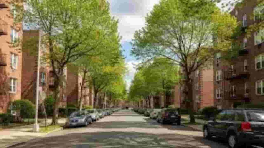
Wyoming County, New York GIS Map and Overview
Wyoming County, New York offers detailed GIS mapping tools for parcel visualization and land analysis. Users can explore property boundaries, zoning layers, and ownership patterns through interactive systems that improve understanding of land use and property distribution.
- Total Area: 596 sq miles
- Land Area: 593 sq miles
- Water Area: 3 sq miles
- Median Home Value: $145,000
- Population: 40,000
Nearby Counties
Major Communities in Wyoming County, New York
Warsaw
2,800 Parcels
Perry
3,200 parcels
2,400 Parcels
Wyoming County, New York Property Search Tool – 4 Easy Methods
The Wyoming County property lookup platform provides fast and free access to property records. Users can search using multiple filters to retrieve ownership data, tax records, and parcel-level insights for accurate real estate decisions.
Search By Owner Name
Search using the owner’s name to locate property records within Wyoming County systems. This method helps identify ownership details, tax data, and linked parcels, offering a simple way to explore real estate information across the county.
Search By Address
Enter a complete property address to retrieve parcel data in Wyoming County. This search provides access to ownership records, tax history, zoning details, and property characteristics in a structured and easy-to-read format.
Search By Parcel PIN
Using a Parcel Identification Number ensures precise search results in Wyoming County. This method directly links to property records, showing ownership, tax details, zoning classification, and full parcel-specific information without confusion.
Search By City Name
If detailed information is unavailable, search using a town or city name within Wyoming County. This helps filter results by location and allows users to browse property records within specific municipal areas.
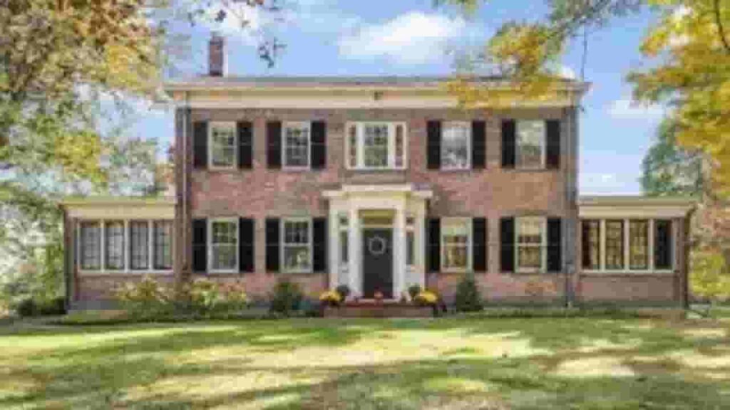
Wyoming County, New York Property Records – Data You Get
The Wyoming County, New York property search system provides structured and verified public data. Users can access ownership records, land values, tax information, and legal descriptions for accurate property research and decision-making.
Parcel PIN
In Wyoming County, New York, the parcel identification number is a unique code assigned to each property. It helps track ownership, tax records, and parcel details across official databases, ensuring accurate and efficient property searches within county systems
Owner Address
The owner address field identifies the exact physical location of a property. It includes street and geographic details, allowing users to verify parcel positioning and understand where the property is located within local records.
Administration Code
The administration code helps organize internal property records. It supports structured data management by grouping parcel information related to taxation, zoning, and ownership within official county systems.
Owner Identity
Owner identity records display the legally registered property holder. This allows users to confirm ownership status, verify legal rights, and identify responsible parties for taxes and transactions.
Legal Identification
Legal descriptions define parcel boundaries using official terminology. These records ensure precise identification during property transfers, legal documentation, and ownership verification across county databases.
Tax Parcel Use Code
Tax use codes classify properties by usage such as residential, commercial, or agricultural. These classifications help determine tax obligations, assessment rules, and regulatory categories for each parcel.
Zoning Code
Zoning codes define permitted land use and development rules. These regulations guide construction, property modification, and planning compliance within local jurisdiction systems.
GIS Acres
GIS acreage represents land size measured using geographic mapping systems. It provides precise parcel dimensions and supports spatial analysis for property evaluation and mapping accuracy.
Construction Date
Construction year indicates when the primary structure was built. It helps determine property age, condition, and renovation needs for accurate real estate evaluation.
Gross Living Area
Gross living area measures total usable indoor space of a property. It plays a key role in valuation, comparison, and housing market analysis.
Building Code
Building codes define structural classification and construction standards. They ensure safety compliance and help categorize property types within official records.
Water Supply
Water supply data shows whether a property uses public water or private wells. It helps evaluate infrastructure availability and utility planning requirements.
Sewerage System
Sewerage system information identifies whether properties connect to public sewer lines or septic systems. It impacts maintenance planning and environmental compliance.
Property Valuation Date
Property valuation data provides breakdowns of land and improvement values. It supports tax assessment accuracy and ensures transparent valuation reporting.
Net Assessed Land Value
Net assessed land value represents taxable land value excluding structures. It forms the base for property tax calculation and official assessment records.
Full Site Address
The full site address provides the exact physical property location. It includes street and geographic identifiers for accurate mapping and verification.
Mailing Address
The mailing address indicates where tax notices and official documents are sent. It may differ from the property location but ensures proper communication with owners.
Site Address Zip
ZIP code identifies the postal region linked to a property. It improves search accuracy, mailing efficiency, and geographic classification within record system.
Wyoming County, NY Property Tax & Community Data
Community-level property insights across Wyoming County, New York. This dataset includes estimated parcels, population, land area, preliminary millage rates, and median property tax estimates for better real estate and tax understanding.
| City / Community Name | Parent Municipality | Total Parcels (Est.) | Total Population (2026) | Area (Sq Mi) | Preliminary Millage Rate (2026) | Median Tax Bill (Est.) |
|---|---|---|---|---|---|---|
| Arcade | Town of Arcade | 2,100 | 4,172 | 47.0 | $8.86 | $4,089 |
| Attica | Town of Attica | 3,100 | 6,463 | 36.0 | $7.62 | $3,932 |
| Bennington | Town of Bennington | 1,600 | 3,185 | 55.0 | $7.62 | $4,576 |
| Castile | Town of Castile | 1,350 | 2,682 | 37.0 | $9.52 | $2,287 |
| Covington | Town of Covington | 550 | 1,234 | 26.0 | $7.62 | — |
| Eagle | Town of Eagle | 550 | 1,084 | 36.0 | $7.62 | — |
| Gainesville | Town of Gainesville | 1,000 | 1,973 | 36.0 | $7.62 | $2,490 |
| Genesee Falls | Town of Genesee Falls | 200 | 400 | 15.0 | $7.62 | — |
| Java | Town of Java | 1,100 | 1,934 | 47.0 | $8.96 | — |
| Middlebury | Town of Middlebury | 650 | 1,306 | 36.0 | $7.62 | — |
FAQs
How can I perform a Wyoming County, New York property search by name?
You can use the official county property database to search by owner name. Enter the full or partial name to access ownership details, parcel information, tax records, and property valuation data.
Is there a Wyoming County, New York property search map available online?
Yes, the Wyoming County, New York property search map (GIS system) allows users to view parcels visually. You can explore boundaries, zoning layers, and land details through interactive mapping tools.
How do I search Wyoming County, New York property records by address?
You can enter a full street address into the county property search system. This will return parcel data, ownership records, tax history, and zoning information for that specific location.
How can I access Wyoming County, NY deed search records?
A Wyoming County, NY deed search can be done through the County Clerk’s online portal. You can search by owner name or address to view property transfer history and legal ownership documents.
Can I check New York property owner search records online for Wyoming County?
Yes, New York property owner records for Wyoming County are available online. You can search by owner name, parcel ID, or address to access ownership details, tax data, and property records.