Oswego County NY Property Records & Smart Lookup Guide
In Oswego County NY, there are 59,384 parcels available for public access. You can search property records using owner name, parcel number, or address. Enter Parcel ID (like 06504400020060000000 or SBL 65.44-2-6) to view ownership, tax data, and full property details quickly online.
New York Property Search
Search the public New York statewide parcel API by parcel number, owner name, or site address.
The property system maintains updated parcel-level records for transparency and public use. It tracks 59,384 parcels and 95,615 buildings using aerial imagery. Address records include 71,159 secondary entries, while 12,783 parcels feature standardized zoning for accurate assessment and classification.
Total Residential Properties
44,438
Total Commercial Properties
2,706
Avg. Home Age
Avg. Square Feet
Total Residential Sales 2026
159
Homes Seriously Underwater
0.85%
Residential Sales 2025 year
1,453
Equit Rich Homes
33.69%
Effective 2026 Property Tax
Total Foreclosure Filings
5
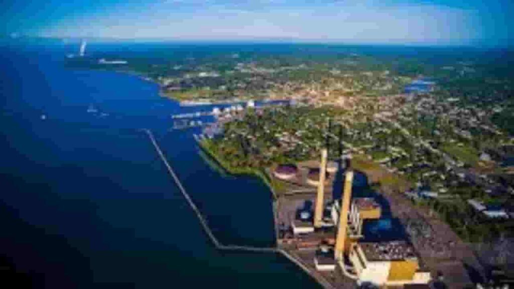
GIS Map & Regional Overview
This region in central New York spans around 1,312 square miles, including land and water areas. Population is estimated near 118,000. GIS mapping tools display parcel boundaries, ownership layers, and zoning details for accurate geographic analysis.
- Total area: 1,312 sq. miles
- Land area: 952 sq. miles
- Water area:3600 sq. miles
- Median home value: $160,000
- Population: 118,000
Nearby Counties
Key Cities & Parcel Distribution

Fulton
8,457 Parcels

Mexico
2,731 parcels
12,185 Parcels
Property Search Tool – 4 Simple Methods
The Oswego County property lookup tool provides quick and free access to real estate records. Users can search using multiple filters to retrieve ownership, tax, and parcel-level data efficiently with accurate results.
Search By Owner Name
Enter a full or partial owner name to find property records in Oswego County systems. This method helps identify ownership details, linked parcels, and tax data with updated and reliable information.
Search By Address
Input a complete property address to retrieve parcel details instantly. This includes ownership records, tax history, and valuation data, making it the fastest lookup method within Oswego County property databases.
Search By Parcel PIN
Parcel Identification Number provides exact search results. This unique identifier ensures accurate retrieval of tax records, land values, and ownership details without duplication across Oswego County systems.
Search By City Name
Search using a city name when detailed information is unavailable. This helps users explore multiple properties across towns and communities within Oswego County for broader research.
Property Records Information Access
The property search system provides detailed real estate insights. Users can access ownership details, parcel values, tax records, zoning classifications, and property history for informed decisions and accurate research across the county database.
Parcel PIN
Parcel Identification Number in Oswego County New York is a unique code assigned to each property. It helps users quickly locate parcel records, tax details, and ownership data within the official property system efficiently.
Owner Address
Owner address shows the registered mailing location of the property holder. This information helps verify ownership records and ensures accurate delivery of official tax notices and correspondence.
Administration Code
Administration code is used for internal classification of parcels in Oswego County New York. It supports tax processing, zoning management, and efficient recordkeeping across the property database system for accurate administration.
Owner Identity
Owner identity displays the legally registered property owner name. In Oswego County property records, it helps confirm ownership rights and provides clarity when reviewing public land and real estate data.
Legal Identification
Legal identification includes the official property description used in records. It defines boundaries and location precisely, ensuring accurate ownership documentation and legal verification within Oswego County land records systems.
Tax Parcel Use Code
Tax parcel use codes define how land is classified, such as residential or commercial. In Oswego County, these codes help determine taxation rates and provide insight into how properties are officially categorized.
Zoning Code
Zoning code identifies land-use regulations assigned to parcels in Oswego County New York. It helps users understand development permissions, restrictions, and planning guidelines applied to specific properties.
GIS Acres
GIS acres represent the measured land size using mapping technology. In Oswego County systems, this helps users understand parcel dimensions accurately and compare land areas using geographic data tools.
Construction Date
Construction date indicates the year a structure was built. In Oswego County property data, this helps estimate building age, condition, and potential renovation requirements for buyers and investors.
Gross Living Area
Gross living area measures the total usable interior space of a property. In Oswego County New York, it is a key factor in property valuation and helps compare residential property sizes effectively.
Building Code
Building code defines classification and structural standards. In Oswego County property records, it ensures compliance with regulations and categorizes buildings based on construction type and usage.
Water Supply
Water supply data identifies whether a property uses public systems or private wells. In Oswego County, this helps evaluate infrastructure availability and utility access for residential and commercial parcels.
Sewerage System
Sewerage system explains waste disposal methods such as public sewer or septic systems. In Oswego County, this information is important for maintenance planning and environmental compliance.
Property Valuation Date
Property valuation data provides detailed breakdowns of land and improvement values. In Oswego County systems, it helps users understand how total assessed value is calculated for taxation purposes.
Net Assessed Land Value
Net assessed land value represents the taxable worth of land only. In Oswego County New York, it forms the base for property tax calculations and helps evaluate raw land value independently
Full Site Address
Full site address provides the exact physical location of a property. In Oswego County systems, it includes street and locality details, helping users easily identify and verify parcel locations accurately.
Mailing Address
Mailing address indicates where tax bills and official documents are sent. In Oswego County, this address may differ from the physical property location depending on the owner’s residence.
Site Address Zip
ZIP code identifies the postal region of a property. In Oswego County New York, it improves search accuracy and helps confirm correct geographic placement when accessing property records online.
Oswego County, NY Property Tax & Community Data
Community-level property and tax insights across Oswego County, New York. This dataset includes estimated parcels, population, land area, preliminary millage rates, and median property tax bills for accurate real estate analysis and tax understanding.
| City / Community Name | Parent Municipality | Total Parcels (Est.) | Total Population (2026) | Area (Sq Mi) | Preliminary Millage Rate (2026) | Median Tax Bill (Est.) |
|---|---|---|---|---|---|---|
| Oswego (City) | City of Oswego | 8,493 | 17,108 | 7.6 | 16.90 | $3,850 |
| Fulton (City) | City of Fulton | 4,800 | 11,168 | 3.8 | 19.20 | $3,420 |
| Hastings | Town of Hastings | 3,900 | 9,487 | 46.0 | 14.15 | $3,580 |
| Oswego (Town) | Town of Oswego | 3,200 | 8,531 | 27.4 | 12.80 | $3,650 |
| Schroeppel | Town of Schroeppel | 3,100 | 7,987 | 42.0 | 13.50 | $3,410 |
| Scriba | Town of Scriba | 2,900 | 6,642 | 41.0 | 11.90 | $4,120 |
| Granby | Town of Granby | 2,850 | 6,568 | 45.0 | 14.25 | $3,050 |
| Richland | Town of Richland | 2,700 | 5,815 | 57.0 | 12.10 | $3,240 |
| Volney | Town of Volney | 2,600 | 5,669 | 48.0 | 13.80 | $3,180 |
| Mexico (Town) | Town of Mexico | 2,550 | 5,406 | 46.0 | 14.40 | $3,350 |
| Constantia | Town of Constantia | 2,300 | 4,845 | 57.0 | 13.95 | $3,210 |
| Hannibal (Town) | Town of Hannibal | 2,100 | 4,505 | 45.0 | 14.60 | $2,890 |
| West Monroe | Town of West Monroe | 1,850 | 4,093 | 34.0 | 13.25 | $3,450 |
FAQs
How can I perform an Oswego County New York property search by owner?
You can complete an Oswego County New York property search by owner by entering the owner’s full or partial name in the county’s real property system. This helps you find ownership details, parcel data, tax records, and linked properties quickly.
Is there a free Oswego County New York property search available?
Yes, an Oswego County New York property search free tool is available online. Users can access property records, ownership information, parcel details, and tax data without any cost through public real property databases.
Where can I access the Oswego County property search map or GIS system?
The Oswego County New York property search map and Oswego County real property search map are available through the GIS platform. These maps display parcel boundaries, zoning layers, and ownership data for easy geographic property analysis.
How do I search Oswego County tax records by owner?
To perform an Oswego County real property tax search by owner, enter the property owner’s name into the tax records system. This allows you to view assessment values, tax bills, payment history, and parcel-specific financial details.
How can I access Oswego County deed search and property records?
The Oswego County deed search is available through the county clerk’s online records system. You can find deeds, mortgages, and legal documents, and combine this with an Oswego County real property search by owner free for full property verification.