Jefferson County, New York Property Appraiser, Search Your Record Lookup
In Jefferson County New York, there are about 58,513 parcels recorded in official databases. Users can search property records using Parcel ID without spaces (like 06504400020060000000 or SBL 65.44-2-6) owner name, or address to access ownership details, tax history, and complete assessment information quickly and accurately.
New York Property Search
Search the public New York statewide parcel API by parcel number, owner name, or site address.
The county appraisal system maintains updated land and building records for transparent public access. It currently tracks 58,513 parcels and 101,811 matched buildings, supported by multiple imagery datasets from different years. Secondary address records include 76,527 entries, while zoning coverage extends to 19,755 standardized parcels, ensuring accurate classification and tax assessment.
Total Residential Properties
41,788
Total Commercial Properties
3,144
Avg. Home Age
Avg. Square Feet
Total Residential Sales 2026
274
Homes Seriously Underwater
0.62%
Residential Sales 2025 year
1,863
Equit Rich Homes
12.09%
Effective 2026 Property Tax
Total Foreclosure Filings
14
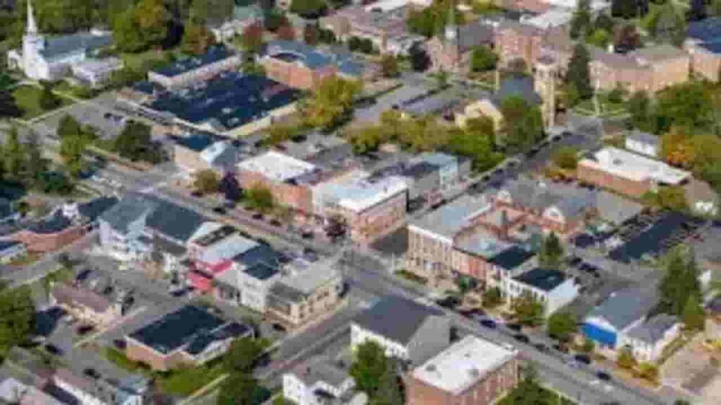
Jefferson County GIS Map and Overview
Jefferson County New York features a mix of urban centers, rural land, and waterfront properties. GIS mapping systems help analyze land boundaries, parcel distribution, and zoning accuracy. These spatial datasets support property valuation, infrastructure planning, and real estate decision-making across residential and commercial zones.
- Total Parcels: 58,513
- Matched Buildings: 101,811
- Secondary Addresses: 76,527
- Standardized Zoning Parcels: 19,755
- Data Refresh Date: 2025-07-22
- Address Source Date: 2026-01-01
- Zoning Update: 2025-09-17
Nearby Counties
Main Cities in Jefferson County

Watertown
6,058 Parcels
Fort Drum Area
2,722 parcels

624 Parcels
Jefferson County NY Property Search Tool – 4 Easy Methods
The property search system in Jefferson County New York provides fast access to public land and ownership records. Users can retrieve tax data, parcel information, and ownership history using multiple search options designed for accuracy and efficiency.
Search By Owner Name
Search property records using the legal owner’s full name. This method helps identify linked parcels, ownership history, and tax details across multiple datasets within Jefferson County New York property systems.
Search By Address
Enter a complete street address to access parcel-level property information. It provides ownership data, valuation records, and zoning classification for accurate real estate research and verification purposes.
Search By Parcel PIN
Use a Parcel Identification Number for precise search results. It ensures direct access to tax records, ownership details, and legal property information without duplication or mismatched entries.
Search By City Name
If other details are not available, search using city or community names. This helps filter records within specific geographic areas across Jefferson County New York property databases.
Jefferson County New York Property Search Tool Data Coverage
The property search system provides structured real estate intelligence across Jefferson County New York. It includes ownership verification, tax assessment data, zoning classification, and land valuation records for transparent and accurate property research.
Parcel PIN
The parcel identification number is a unique code assigned to each property. It allows fast access to ownership records, tax details, and land information, ensuring accurate identification across Jefferson County New York property systems.
Owner Address
Owner address refers to the official registered location of the property owner. It helps verify contact information and ensures correct delivery of tax notices, legal documents, and official correspondence.
Administration Code
Administrative codes are system-generated identifiers used to organize property records. They help maintain structured databases, improve tracking efficiency, and support accurate classification of parcels in official systems.
Owner Identity
Owner identity confirms the legally registered property holder. It ensures transparency in ownership records and helps verify real estate rights, legal claims, and property control information.
Legal Identification
Legal identification defines the official boundary description of a parcel. It is used in legal documents for ownership verification, land transactions, and dispute resolution processes.
Tax Parcel Use Code
These codes classify properties based on usage type such as residential, commercial, or agricultural. They determine tax rates and help apply correct assessment rules across different parcel categories.
Zoning Code
Zoning codes regulate land use, building types, and development rules. They ensure structured planning and control construction activities across residential, commercial, and mixed-use areas.
GIS Acres
GIS acres measure land size using geographic mapping systems. This ensures precise spatial data for planning, valuation, and property boundary analysis.
Construction Date
Construction date indicates the year when the primary structure was built. It helps assess property age, maintenance needs, and long-term valuation trends.
Gross Living Area
Gross living area measures total enclosed interior space of a structure. It is used in valuation models, property comparison, and market pricing analysis.
Building Code
Building code defines structural classification and construction type. It ensures compliance with safety standards and helps categorize property design and quality levels.
Water Supply
Water supply identifies the source of water service connected to a property. It may include municipal systems or private wells, impacting infrastructure and livability assessment.
Sewerage System
Sewerage system describes wastewater management infrastructure. It ensures proper sanitation, environmental safety, and utility classification for properties.
Property Valuation Date
Property valuation data represents combined land and building value estimates. It supports taxation, investment planning, and real estate market analysis.
Net Assessed Land Value
Net assessed land value is the final taxable land value after deductions. It determines property tax obligations and reflects adjusted land worth.
Full Site Address
Full site address provides exact property location details. It ensures accurate identification for legal, postal, and administrative purposes.
Mailing Address
Mailing address is the official destination for tax notices and legal documents. It may differ from the physical property location.
Site Address Zip
Site address ZIP code defines the postal region of a property. It improves search accuracy, geographic classification, and mail delivery efficiency.
Jefferson County, NY Property Tax & Community Data
Community-level property and tax insights across Jefferson County, New York. This dataset includes estimated parcels, population figures, land area, preliminary millage rates, and median property tax bills for better real estate research and regional analysis.
| City / Community Name | Parent Municipality | Total Parcels (Est.) | Total Population (2026) | Area (Sq Mi) | Preliminary Millage Rate (2026) | Median Tax Bill (Est.) |
|---|---|---|---|---|---|---|
| Adams | Town of Adams | 2,150 | 4,950 | 42.40 | 7.15 | $1,370 |
| Adams Center | Town of Adams | 2,150* | 1,520 | 5.20 | 7.15 | $1,426 |
| Alexandria Bay | Village of Alexandria Bay | 850 | 950 | 1.50 | 13.80 | $2,671 |
| Antwerp | Town of Antwerp | 1,120 | 1,650 | 108.50 | 8.40 | $1,214 |
| Belleville | Town of Ellisburg | 1,950* | 210 | 0.30 | 7.45 | $1,411 |
| Black River | Village of Black River | 680 | 1,350 | 1.10 | 10.15 | $2,410 |
| Brownville | Town of Brownville | 2,850 | 6,100 | 36.40 | 6.85 | $1,402 |
| Calcium | Town of Le Ray | 4,100* | 3,450 | 5.60 | 6.20 | $1,262 |
| Cape Vincent | Town of Cape Vincent | 2,450 | 2,750 | 56.60 | 6.45 | $1,623 |
| Carthage | Village of Carthage | 1,180 | 3,600 | 2.60 | 15.20 | $2,965 |
| Chaumont | Village of Chaumont | 420 | 620 | 1.10 | 12.10 | $3,308 |
| Clayton | Town of Clayton | 3,450 | 4,950 | 82.40 | 5.95 | $1,618 |
| Deferiet | Village of Deferiet | 140 | 250 | 0.70 | 14.25 | $2,229 |
| Depauville | Town of Clayton | 3,450* | 550 | 1.20 | 5.95 | $985 |
| Dexter | Village of Dexter | 410 | 1,050 | 0.70 | 11.85 | $2,725 |
| Ellisburg | Town of Ellisburg | 1,950 | 3,420 | 68.60 | 7.45 | $1,335 |
| Evans Mills | Village of Evans Mills | 280 | 650 | 0.80 | 12.40 | $2,863 |
| Felts Mills | Town of Rutland | 1,580* | 380 | 0.50 | 8.12 | $1,679 |
| Fishers Landing | Town of Orleans | 2,120* | 110 | 0.40 | 6.30 | $1,291 |
| Fort Drum | Town of Le Ray/Phila. | 2,150 | 13,200 | 107.00 | N/A | N/A |
| Henderson | Town of Henderson | 2,420 | 1,350 | 41.60 | 5.80 | $1,377 |
| Henderson Harbor | Town of Henderson | 2,420* | 450 | 1.90 | 5.80 | $3,044 |
| La Fargeville | Town of Orleans | 2,120* | 610 | 0.90 | 6.30 | $1,082 |
| Lorraine | Town of Lorraine | 650 | 980 | 39.00 | 8.95 | $2,016 |
| Mannsville | Village of Mannsville | 180 | 350 | 0.90 | 13.15 | $2,735 |
| Philadelphia | Town of Philadelphia | 1,150 | 2,250 | 37.60 | 7.90 | $1,475 |
| Pierrepont Manor | Town of Ellisburg | 1,950* | 250 | 0.80 | 7.45 | $1,069 |
| Plessis | Town of Alexandria | 3,120* | 180 | 0.60 | 6.95 | $1,063 |
| Redwood | Town of Alexandria | 3,120* | 550 | 1.40 | 6.95 | $1,140 |
| Rodman | Town of Rodman | 610 | 1,120 | 42.20 | 5.25 | $1,223 |
| Sackets Harbor | Village of Sackets Hbr | 680 | 1,420 | 2.20 | 11.20 | $3,428 |
| Theresa | Town of Theresa | 1,650 | 2,850 | 70.40 | 7.80 | $1,447 |
| Thousand Is. Park | Town of Orleans | 2,120* | 250 | 0.50 | 6.30 | $3,017 |
| Three Mile Bay | Town of Lyme | 2,150* | 210 | 0.90 | 6.15 | $1,260 |
| Watertown | City of Watertown | 8,900 | 24,100 | 9.30 | 11.45 | $2,342 |
| Wellesley Island | Town of Orleans/Alex. | 3,120* | 350 | 18.00 | 6.30 | $3,152 |
FAQs
How can I do a Jefferson County NY property tax search by owner?
You can perform a Jefferson County NY property tax search by owner using official county databases. Enter the owner name to access tax records, parcel details, assessed values, and payment history linked to properties.
What is Jefferson County ImageMate property search used for?
Jefferson County ImageMate property search is an online GIS-based tool that allows users to view parcels, ownership details, aerial maps, and tax assessment data. It helps in accurate property identification and real estate research.
How does Jefferson County property search by owner work?
The Jefferson County property search by owner lets users enter a property owner’s name to find associated parcels. It returns ownership information, land records, tax details, and property valuation data from official county systems.
What is included in Jefferson County NY real property search?
Jefferson County NY real property search includes parcel boundaries, ownership data, assessed values, zoning details, and tax history. It provides a complete overview of real estate records for residential and commercial properties.
How can I use Jefferson County NY GIS and tax map viewer?
Jefferson County NY GIS and tax map viewer allows users to explore interactive maps showing parcel layouts, zoning layers, and ownership data. It helps in locating properties visually and verifying land records accurately.