Chemung County New York Property Appraiser Search Records
In Chemung County New York, there are 39,470 parcels available for public access. You can search property records using owner name, parcel ID, or address. Enter Parcel ID (like 06504400020060000000 or SBL 65.44-2-6) to view tax, ownership, and property details.
New York Property Search
Search the public New York statewide parcel API by parcel number, owner name, or site address.
In Chemung County New York, the property appraiser maintains updated parcel datasets for public use. The county manages 39,470 parcels and 60,839 mapped buildings using aerial imagery and verified datasets. Address records include 49,229 secondary addresses, while 21,349 parcels have standardized zoning for better accuracy in property valuation and tax assessment records.
Total Residential Properties
29,431
Total Commercial Properties
2,247
Avg. Home Age
Avg. Square Feet
Total Residential Sales 2026
248
Homes Seriously Underwater
0.89%
Residential Sales 2025 year
1,338
Equit Rich Homes
25.56%
Effective 2026 Property Tax
Total Foreclosure Filings
17
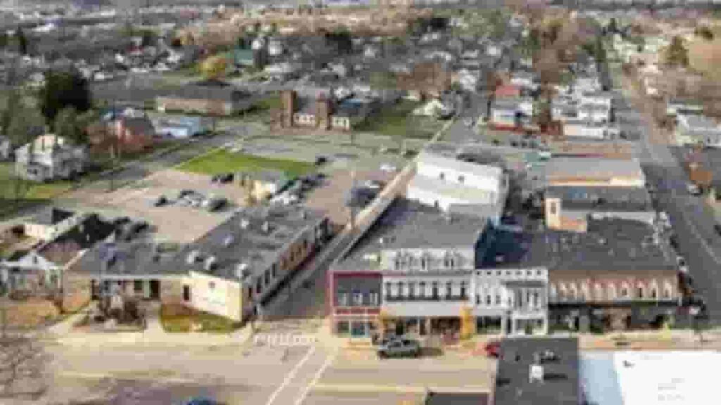
Chemung County GIS Map and Overview
Chemung County covers an estimated area with balanced land and water distribution. The county displays property boundaries through GIS mapping tools. Median home value trends and population insights help users understand real estate patterns and regional demographics.
- Total area: about 411 square miles
- Land area: about 407 square miles
- Water area: about 4 square miles
- Median home value: about $140,000
- Population: about 84,000 (2020 Census)
Nearby Counties
Famous Cities In The Region
Erin
911 Parcels

Horseheads
7,653 parcels
761 Parcels
Chemung County NY Property Search Tool - Four Easy Methods
Our Chemung County NY property search tool helps users access records quickly and free of cost. Search using owner name, parcel number (PIN), property address, or city name. Instantly check ownership, tax data, sales history, and detailed property insights in seconds.
Search By Owner Name
Search property records using the owner’s full name. This method helps identify ownership history, linked parcels, and legal property details quickly within the county database system.
Search By Address
Enter the complete property address to access parcel details. This option provides accurate property location data, ownership records, and tax-related information in a fast and simple way.
Search By Parcel PIN
Use the Parcel Identification Number to find exact property records in New York. This method ensures precise search results, including tax data, ownership history, and official assessment records.
Search By City Name
If full details are missing, use the city name in Chemung New York to search properties. This method helps narrow results and locate parcels within specific city areas effectively.
Chemung County Property Search Tool Provides Data
The Chemung County property search tool delivers complete property insights. Search by owner name, parcel number, or address to access ownership records, tax data, land values, and official county assessment details for better real estate decisions.
Parcel PIN
The Parcel PIN is a unique property identifier used to locate records quickly. It helps users access tax details, ownership data, and official parcel records accurately within the property database system for faster and more reliable search results.
Owner Address
The owner address shows the registered location of the property holder. It helps confirm ownership details and indicates where official notices, tax documents, and legal correspondence are connected for each specific property record.
Administration Code
The administration code is used to organize and classify property records within internal systems. It supports better data management, improves tracking efficiency, and ensures accurate handling of parcel-related information across property databases.
Owner Identity
The owner identity section displays the legally recorded owner name linked to a property. It allows users to verify ownership status and identify individuals or organizations holding legal rights and responsibilities for that parcel.
Legal Identification
Legal identification provides the official property description used in legal records. It includes boundary definitions and location details, ensuring accurate identification during property transactions, ownership verification, and documentation processes.
Tax Parcel Use Code
Tax parcel use codes classify properties into categories such as residential, commercial, or agricultural. These codes help users understand how a property is assessed and taxed based on its official use classification.
Zoning Code
Zoning codes define land use regulations and development rules for each property. They guide permitted uses, building restrictions, and planning requirements, helping users understand how land can legally be used or developed.
GIS Acres
GIS acres represent the total land size calculated through mapping data. This measurement helps users evaluate property dimensions, compare land areas, and understand the exact size of a parcel using geographic information systems.
Construction Date
The construction date indicates when the main structure was originally built. This helps estimate building age, evaluate structural condition, and understand potential maintenance or renovation needs over time.
Gross Living Area
Gross living area reflects the total usable interior space within a property. It is an important factor for buyers and investors when comparing property size, functionality, and overall living capacity.
Building Code
Building codes establish construction standards and safety requirements. These regulations ensure structures meet legal guidelines, maintain safety, and follow approved construction practices for durability and compliance.
Water Supply
Water supply information shows the source of water for a property, such as public systems or private wells. It helps users understand utility availability and assess reliability of water access.
Sewerage System
The sewerage system explains how wastewater is managed for a property. It may include public sewer connections or private septic systems, helping users evaluate sanitation infrastructure and environmental compliance.
Property Valuation Date
Property valuation data separates land value and improvement value. This breakdown helps users understand how total property worth is calculated and supports better analysis of tax assessments and investment potential.
Net Assessed Land Value
Net assessed land value represents the taxable value of land after adjustments. It is used by authorities to calculate property taxes and determine the final assessed amount for each parcel.
Full Site Address
The full site address provides the complete physical location of a property. It includes street name, number, and locality details, helping users accurately identify where the parcel is situated.
Mailing Address
The mailing address indicates where official documents and tax notices are delivered. This address may differ from the physical property location, especially in cases of rental or investment properties.
Site Address Zip
The ZIP code identifies the postal region linked to the property location. It improves search accuracy, helps verify geographic placement, and ensures proper delivery of mail and official communications.
Chemung County, NY Property Tax & Community Data
Community-level property and tax insights across Chemung County, New York. This dataset includes estimated parcels, population, land area, preliminary millage rates, and median property tax bills for better real estate and tax understanding.
| City / Community Name | Total Parcels (Est.) | Total Population (2026) | Area (Sq Mi) | Preliminary Millage Rate (2026) | Median Tax Bill (Est.) |
|---|---|---|---|---|---|
| City of Elmira | 9,689 | 25,100 | 7.58 | 18.49 | $2,608 |
| Town of Southport | 5,270 | 9,350 | 46.90 | 14.20 | $1,900 |
| Town of Horseheads | 8,350 | 18,700 | 35.90 | 13.85 | $2,450 |
| Town of Big Flats | 3,875 | 7,600 | 45.10 | 12.75 | $2,800 |
| Town of Elmira | 3,763 | 8,600 | 12.30 | 14.10 | $2,350 |
| Town of Veteran | 1,856 | 3,250 | 38.40 | 13.50 | $1,850 |
| Town of Catlin | 1,415 | 2,500 | 38.00 | 13.90 | $1,750 |
| Town of Chemung | 1,482 | 2,450 | 50.00 | 14.05 | $1,600 |
FAQs
How can I do a Chemung County property search for free?
You can use a Chemung County property search free tool to access records online. Simply enter an owner name, parcel ID, or property address to view ownership details, tax records, and property information instantly without any cost.
How to perform a Chemung County property tax search by owner?
A Chemung County property tax search by owner allows you to find tax details using the owner’s name. Enter the full name in the search tool to access tax history, assessed value, and payment records quickly.
Can I search Chemung County New York property records by address?
Yes, the Chemung County New York property search by address option helps you locate properties easily. Enter the full address to view parcel data, ownership records, tax details, and property history in one place.
Is there a map tool for Chemung County New York property search?
Yes, the Chemung County New York property search map provides an interactive GIS system. It lets users explore parcels visually, check boundaries, and access detailed property data directly from mapped locations.
What is ImageMate Chemung County property search?
ImageMate Chemung County Property Search is an official online platform used to access property records, ownership details, parcel data, and tax information. It supports searches by owner name, address, or parcel number efficiently.