Broome County Property Appraiser, Search Your Record Lookup
In Broome County, New York, USA with 85,139 parcels, users can search property records using parcel number, owner name, or property address. Enter Parcel ID (like 06504400020060000000 or SBL 65.44-2-6) to retrieve ownership details, valuation data, tax records, and complete parcel information.”
New York Property Search
Search the public New York statewide parcel API by parcel number, owner name, or site address.
The database includes 112,869 matched buildings sourced from imagery collected during 2020–2022. It also maintains 109,101 secondary addresses, updated on 2026-01-01. Zoning coverage spans 40,025 parcels, with zoning records last updated on 2024-12-19. These integrated datasets support accurate assessments, land records, and taxation workflows.
Total Residential Properties
63,211
Total Commercial Properties
4,770
Avg. Home Age
Avg. Square Feet
Total Residential Sales 2026
160
Homes Seriously Underwater
0.57%
Residential Sales 2025 year
2,258
Equit Rich Homes
25.92%
Effective 2026 Property Tax
Total Foreclosure Filings
45
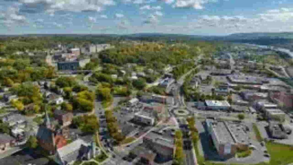
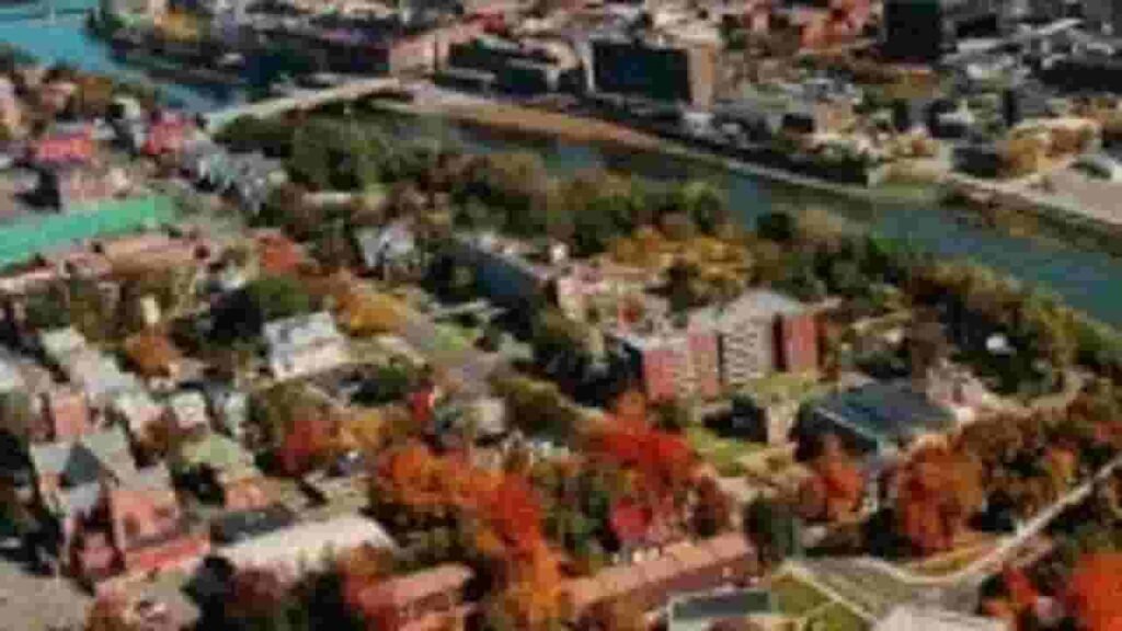
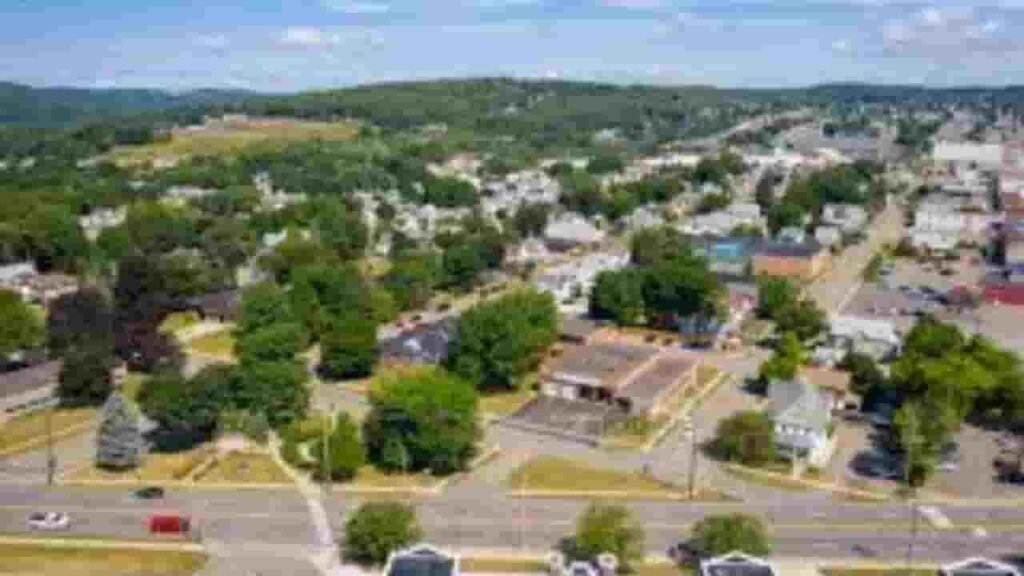
Broome County GIS Map and Overview
GIS mapping in Broome County, New York, USA integrates parcel boundaries, aerial imagery, and zoning layers to support spatial analysis and planning. It helps visualize land use, infrastructure, and property distribution across the region.
- Total Area: N/A
- Parcels: 85,139
- Buildings: 112,869
- Secondary Addresses: 109,101
- Standardized Zoning Parcels: 40,025
- Address Source Date: 2026-01-01
Nearby Counties
Famous Cities In Broome County
Johnson City
6,211 Parcels
Binghamton
25,120 parcels
15,213 Parcels
Broome County Property Search Tool Has 4 Best Method
The property search tool for Broome County, New York, USA enables free online access to parcel data. Users can search by owner name, parcel PIN, address, or city name. It provides ownership details, tax records, and full property history in seconds.
Search By Owner Name
Use the property owner’s name to find associated records within Broome County, New York, USA. This method helps identify ownership details and linked parcels quickly.
Search By Address
Enter a complete property address to retrieve parcel data in Broome County, New York, USA. It returns accurate location-based ownership and assessment information.
Search By Parcel PIN
Search using a Parcel Identification Number for precise lookup in Broome County, New York, USA. This ensures exact matching of records without ambiguity.
Search By City Name
Write complete or a specific city name in the address field to filter/ search broad results within specific areas of Broome County, New York, USA.
Broome County Property Search Tool Provide Information
The property search platform for Broome County, New York, USA delivers detailed real estate insights in one place. It allows users to access parcel records, ownership details, zoning data, tax assessments, and land values.
Parcel PIN
Parcel PIN is a unique identifier assigned to each property in Broome County, New York. It enables precise retrieval of parcel records, tax data, and ownership information from official databases.
Owner Address
Owner address represents the physical location of a parcel in Broome County, New York. It helps users identify the exact site and geographic position of the property.
Administration Code
Administration code organizes parcel records within Broome County, New York. It supports internal classification, data management, and structured record keeping across property systems.
Owner Identity
Owner identity displays the registered property holder recorded in Broome County, New York databases. It confirms legal ownership and links individuals or entities to specific parcels.
Legal Identification
Legal identification describes the official boundary definition of a property in Broome County, New York. It is used in deeds, contracts, and formal property documentation.
Tax Parcel Use Code
Tax parcel use codes classify properties by usage type in Broome County, New York such as residential, commercial, or mixed-use. They help determine taxation categories and assessment grouping.
Zoning Code
Zoning codes define land-use regulations within Broome County, New York. They guide development rules, construction limits, and permitted property uses under local planning laws.
GIS Acres
GIS acres measure parcel land area using geographic data systems in Broome County, New York. This ensures accurate mapping, spatial analysis, and land size calculation.
Construction Date
Construction date indicates when a building was originally constructed in Broome County, New York. It helps estimate property age, durability, and structural condition.
Gross Living Area
Gross living area measures total usable interior space of a property in Broome County, New York. It plays a key role in valuation and comparative property analysis.
Building Code
Building code identifies structural classification of properties in Broome County, New York. It standardizes building types and supports consistent record organization.
Water Supply
Water supply indicates the source of water service for a property in Broome County, New York. It may include municipal systems or private water sources.
Sewerage System
Sewerage system describes waste management infrastructure in Broome County, New York. It defines how wastewater is processed through public or private systems.
Property Valuation Date
Property valuation data includes assessed land and improvement values in Broome County, New York. It supports taxation, appraisal, and real estate market evaluation.
Net Assessed Land Value
Net assessed land value reflects the taxable value of land only in Broome County, New York. It excludes structures and improvements for accurate assessment.
Full Site Address
Full site address provides the exact physical location of a property in Broome County, New York. It ensures precise identification and record matching.
Mailing Address
Mailing address is used for official correspondence in Broome County, New York. It receives tax notices and other property-related communications.
Site Address Zip
Site address ZIP identifies the postal region of a property in Broome County, New York. It helps verify location and improves accuracy in property searches.
Broome County, NY Property Tax & Community Data
Community-level property and tax insights across Broome County, New York. This dataset includes estimated parcels, population, land area, preliminary millage rates, and median property tax bills for better real estate and tax understanding.
| City / Community Name | Parent Municipality | Total Parcels (Est.) | Total Population (2026) | Area (Sq Mi) | Preliminary Millage Rate (2026) | Median Tax Bill (Est.) |
|---|---|---|---|---|---|---|
| Binghamton | City of Binghamton | 13,850 | 46,200 | 11.10 | 22.45 | $4,137 |
| Castle Creek | Town of Chenango | 4,950* | 850 | 2.40 | 12.10 | $2,313 |
| Chenango Forks | Town of Barker | 1,420* | 1,150 | 1.80 | 14.85 | $2,512 |
| Conklin | Town of Conklin | 2,150 | 4,950 | 24.90 | 15.30 | $2,739 |
| Deposit | Town of Sanford | 1,950* | 1,580 | 1.30 | 13.90 | $1,922 |
| Endicott | Village of Endicott | 4,200 | 12,100 | 3.20 | 19.80 | $4,019 |
| Glen Aubrey | Town of Nanticoke | 880* | 420 | 1.10 | 16.40 | $3,275 |
| Harpursville | Town of Colesville | 2,850* | 950 | 2.60 | 13.75 | $2,262 |
| Johnson City | Village of Johnson City | 4,850 | 14,500 | 4.60 | 20.15 | $3,178 |
| Kirkwood | Town of Kirkwood | 2,350 | 5,450 | 31.20 | 14.25 | $2,114 |
| Lisle | Town of Lisle | 1,320 | 2,650 | 47.00 | 13.10 | $2,518 |
| Maine | Town of Maine | 2,250 | 5,100 | 45.70 | 11.85 | $2,652 |
| Nineveh | Town of Colesville | 2,850* | 350 | 1.40 | 13.75 | $2,477 |
| Ouaquaga | Town of Windsor | 3,120* | 280 | 0.90 | 14.10 | $2,225 |
| Port Crane | Town of Fenton | 2,680* | 1,250 | 2.10 | 12.95 | $2,427 |
| Tunnel | Town of Colesville | 2,850* | 150 | 0.60 | 13.75 | N/A** |
| Vestal | Town of Vestal | 9,850 | 28,400 | 52.40 | 13.55 | $3,476 |
| Whitney Point | Village of Whitney Pt | 550 | 920 | 1.10 | 16.20 | $3,060 |
| Windsor | Town of Windsor | 3,120 | 5,800 | 93.00 | 14.10 | $2,767 |
FAQs
How can I perform a free property search in Broome County?
You can use the official county GIS or online assessment portals to search properties by owner name, parcel ID, or address. Most basic property details are available free of cost through public records systems.
Is there a Broome County property search map available online?
Yes, Broome County provides a GIS-based interactive map where users can view parcel boundaries, zoning layers, ownership details, and tax-related information visually.
How do I perform a property search in Broome County by address?
You can enter a full or partial address into the county’s property database or GIS search tool. The system will return matching parcels along with ownership, assessed value, and property characteristics.
Where can I do a free Broome County property tax lookup?
Property tax lookup for Broome County is typically available through the county’s real property tax services portal. You can search by parcel number or address to view current and historical tax bills.
How can I access deed records and tax map lookup in Broome County?
Deed searches and tax map lookups are available via the county clerk or real property office. Users can search recorded documents, ownership history, and official tax maps using parcel identifiers or property addresses.