Columbia County New York Property Appraiser, Find Latest Parcel Records
In Columbia County New York, around 35,947 parcels are recorded. You can search property details using parcel number, owner name, or address. Enter Parcel ID (like 06504400020060000000 or SBL 65.44-2-6) to get accurate tax data, ownership records, and complete property insights instantly.
New York Property Search
Search the public New York statewide parcel API by parcel number, owner name, or site address.
Columbia County’s property appraiser system maintains updated parcel and building data for public access. The county tracks 35,947 parcels and 58,683 matched buildings using multi-year imagery from 2015–2021. Address records include 46,656 secondary locations, while 27,302 parcels have standardized zoning data. This ensures precise property valuation, tax roll accuracy, and reliable ownership information for users.
Total Residential Properties
25,759
Total Commercial Properties
2,079
Avg. Home Age
Avg. Square Feet
Total Residential Sales 2026
162
Homes Seriously Underwater
0.38%
Residential Sales 2025 year
1,171
Equit Rich Homes
34.32%
Effective 2026 Property Tax
Total Foreclosure Filings
10
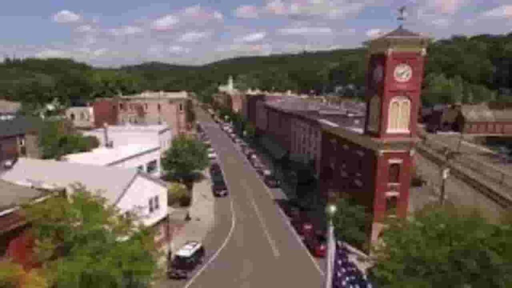
Columbia County GIS Map and Overview
Columbia County in New York spans approximately 648 square miles, including 635 land and 13 water. The population is about 61,570, while the median home value is close to $295,000, reflected through regional GIS mapping systems.
- Total area: about 648 square miles
- Land area: about 635 square miles
- Water area: about 13 square miles
- Median home value: about $295,000
- Population: about 61,570
Nearby Counties
Famous Cities in Columbia County
North Chatham
32 Parcels
Hillsdale
1,880 parcels
263 Parcels
Columbia County NY Property Search Tool 4 Easy Paths
The Columbia County property search system allows fast and free access to land records. Users can search using owner name, parcel number, property address, or city. It provides ownership history, tax data, sales records, and full parcel insights within seconds.
Search By Owner Name
Use the owner’s full name to locate property ownership records across Columbia County New York. This method helps identify multiple properties under one owner and provides quick access to tax and parcel details.
Search By Address
Enter the exact property address to retrieve parcel records within Columbia County. This option gives precise location-based results, including ownership, valuation, and structural details linked with that specific property.
Search By Parcel PIN
The parcel PIN search offers the most accurate way to find property records. In Columbia County systems, each parcel number directly links to tax data, ownership details, and official land records.
Search By City Name
If limited details are available, search using city names like Hudson or Chatham. This method helps filter results within Columbia County New York and provides broader access to available property listings.
Columbia County Property Search Tool Provide Details
The property lookup tool delivers complete insights for every parcel. Users can access ownership data, land value, tax history, zoning details, and building information. It ensures accurate, reliable, and updated records for property research and verification.
Parcel PIN
In Columbia County New York, the Parcel Identification Number acts as a unique code assigned to every property. It allows users to quickly locate exact records, verify ownership, access tax details, and retrieve complete parcel-level data with accuracy and efficiency.
Owner Address
The owner address shows the registered location linked to the property owner in Columbia County records. It helps confirm ownership identity, ensures accurate communication, and supports users in verifying legal property details through official county databases.
Administration Code
Administrative codes in Columbia County datasets help classify properties for internal tracking and management. These codes assist in organizing parcel records, maintaining tax structures, and ensuring accurate categorization within the county’s property assessment system.
Owner Identity
This section highlights the officially registered property owner listed in Columbia County records. It enables users to confirm legal ownership, check title details, and identify individuals or entities holding rights to specific parcels.
Legal Identification
The legal description defines exact property boundaries using formal terminology recorded in Columbia County documents. It ensures accurate identification of land parcels and plays a critical role in ownership transfers, legal verification, and documentation.
Tax Parcel Use Code
Tax parcel use codes indicate how a property is classified in Columbia County, such as residential, agricultural, or commercial. This helps users understand tax obligations and the permitted use of each parcel.
Zoning Code
Zoning codes in Columbia County determine how land can be used, including residential, commercial, or mixed-use purposes. These codes help regulate development and guide property owners in understanding legal land-use restrictions.
GIS Acres
GIS acres represent the total land size calculated through geographic mapping systems. In Columbia County, this measurement helps users understand parcel dimensions accurately and supports planning, valuation, and land-use decisions.
Construction Date
The construction date shows when the primary structure on a property was built. In Columbia County, this helps estimate building age, assess depreciation, and evaluate structural condition for buyers or investors.
Gross Living Area
Gross living area represents the total usable interior space of a residential structure. In Columbia County records, this measurement helps determine property value, compare homes, and assess overall living capacity.
Building Code
Building codes define construction standards followed within Columbia County. These codes ensure safety, structural quality, and compliance with regulations, helping users understand whether a property meets legal construction requirements.
Water Supply
Water supply information identifies whether a property uses public water systems or private wells. In Columbia County, this detail is important for evaluating utility access, living conditions, and long-term property usability.
Sewerage System
The sewerage system field explains whether a property connects to public sewer lines or uses a septic system. This information is critical in Columbia County for maintenance planning and environmental compliance.
Property Valuation Date
Property valuation data includes detailed breakdowns of land and improvement values. In Columbia County, this helps users analyze tax assessments, understand pricing trends, and make informed real estate decisions.
Net Assessed Land Value
Net assessed land value represents the taxable value assigned to land after adjustments. In Columbia County, this figure is used to calculate property taxes and reflects official assessment standards.
Full Site Address
The full site address provides the exact physical location of a property within Columbia County. It includes street name, number, and locality, helping users accurately identify and verify parcel location.
Mailing Address
The mailing address indicates where official correspondence and tax bills are sent. In Columbia County, this may differ from the property location, especially for absentee owners or investment properties.
Site Address Zip
The ZIP code linked to the property helps identify its postal region within Columbia County New York. It improves accuracy in searches, mailing services, and geographic classification of property records.
Columbia County, NY Property Tax & Community Data
Community-level property and tax insights across Columbia County, New York. This dataset includes estimated parcels, population, land area, preliminary millage rates, and median property tax bills for better real estate and tax understanding.
| City / Community Name | Parent Municipality | Total Parcels (Est.) | Total Population (2026) | Area (Sq Mi) | Preliminary Millage Rate (2026) | Median Tax Bill (Est.) |
|---|---|---|---|---|---|---|
| Ancram | Town of Ancram | 1,480 | 1,510 | 42.70 | 4.85 | $2,102 |
| Ancramdale | Town of Ancram | 1,480* | 320 | 2.10 | 4.85 | $2,191 |
| Austerlitz | Town of Austerlitz | 1,320 | 1,600 | 48.80 | 4.15 | $2,532 |
| Brainard | Town of Chatham | 3,400* | 250 | 0.90 | 5.50 | $1,861 |
| Canaan | Town of Canaan | 1,450 | 1,680 | 36.90 | 4.42 | $1,907 |
| Chatham | Town of Chatham | 3,400 | 4,050 | 53.50 | 5.50 | $2,250 |
| Claverack | Town of Claverack | 3,180 | 5,918 | 48.00 | 6.10 | $2,624 |
| Copake | Town of Copake | 2,850 | 3,250 | 42.10 | 5.25 | $2,311 |
| Copake Falls | Town of Copake | 2,850* | 480 | 1.80 | 5.25 | $2,322 |
| Craryville | Town of Copake/Taghkanic | 1,150* | 340 | 1.20 | 5.40 | $2,308 |
| East Chatham | Town of Chatham/Canaan | 3,400* | 610 | 2.40 | 5.50 | $2,215 |
| Elizaville | Town of Livingston | 1,950* | 440 | 1.90 | 5.90 | $2,150 |
| Germantown | Town of Germantown | 1,220 | 1,910 | 13.90 | 5.82 | $2,771 |
| Ghent | Town of Ghent | 2,750 | 5,162 | 45.40 | 5.85 | $2,335 |
| Hillsdale | Town of Hillsdale | 1,510 | 1,840 | 47.90 | 5.12 | $2,685 |
| Hollowville | Town of Claverack | 3,180* | 180 | 0.70 | 6.10 | $2,071 |
| Hudson | City of Hudson | 2,410 | 5,650 | 2.30 | 16.42 | $6,519 |
| Kinderhook | Town of Kinderhook | 4,250 | 8,044 | 32.40 | 6.45 | $3,043 |
| Livingston | Town of Livingston | 1,950 | 3,550 | 39.00 | 5.90 | $2,376 |
| Malden Bridge | Town of Chatham | 3,400* | 210 | 1.10 | 5.50 | $2,148 |
| Mellenville | Town of Claverack | 3,180* | 520 | 1.50 | 6.10 | $2,509 |
| New Lebanon | Town of New Lebanon | 1,540 | 2,210 | 36.00 | 6.88 | $2,291 |
| Niverville | Town of Kinderhook | 4,250* | 1,650 | 3.40 | 6.45 | $1,913 |
| North Chatham | Town of Chatham | 3,400* | 480 | 1.60 | 5.50 | $3,101 |
| Old Chatham | Town of Chatham | 3,400* | 550 | 2.10 | 5.50 | $2,520 |
| Philmont | Village of Philmont | 510 | 1,320 | 1.20 | 12.10 | $4,655 |
| Spencertown | Town of Austerlitz | 1,320* | 410 | 1.90 | 4.15 | $1,958 |
| Stuyvesant | Town of Stuyvesant | 1,210 | 1,950 | 26.80 | 4.95 | $1,384 |
| Stuyvesant Falls | Town of Stuyvesant | 1,210* | 610 | 1.40 | 4.95 | $1,651 |
| Valatie | Village of Valatie | 620 | 1,850 | 1.30 | 11.25 | $4,538 |
FAQs
How can I access Columbia County property records online?
You can search Columbia County property records online using the official property lookup system. It allows access to ownership details, parcel data, tax history, and deed information using simple search methods like name, address, or parcel ID.
Is there a Columbia County New York property search map available?
Yes, the county provides a GIS-based property search map. This interactive map helps users view parcel boundaries, zoning data, land size, and nearby property details across different locations within the county.
Can I perform a Columbia County property search by address?
Yes, you can search using a full property address to quickly find parcel records. This method provides accurate results, including ownership details, assessed value, tax records, and property characteristics.
How do I check Columbia County NY property taxes and tax records?
Property tax records in Columbia County can be accessed through the county’s tax database. Users can view assessed values, annual tax amounts, payment history, and billing details for any registered parcel.
Where can I find Columbia County NY deed search and GIS map records?
Deed records are available through the county clerk’s office, while GIS maps provide visual parcel data. Together, they help users verify ownership history, legal boundaries, and property-related documentation efficiently.